-40%
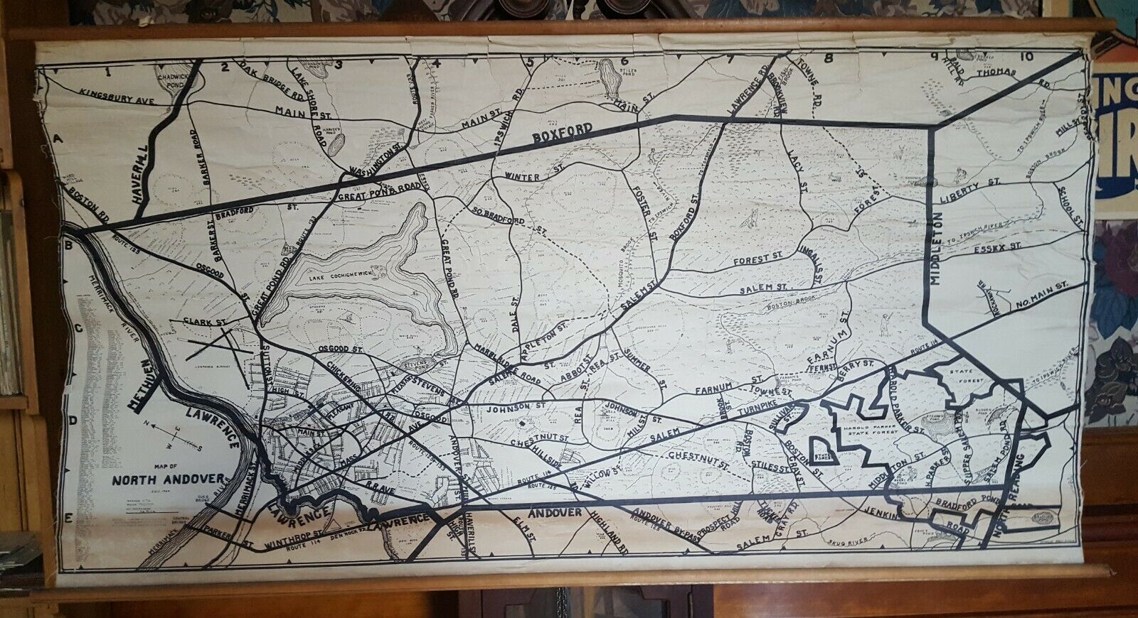
WW2 1944 Andover Massachusetts Axis Invasion Speculative Wall Map Unique
$ 84.48
- Description
- Size Guide
Description
Map of North Andover, July 1944; Designed For Use By Fallen Plane Searching Squads of the North Andover Public Safety Committee. Drawn by Fred Pitkin.Wall Map on original linen, 28 x 49.5 inches.
Unique speculative wall map with fun pictorial flourishes splitting the town of Andover, Mass into grids whereby searching squads could locate paratroopers or other invasionary forces. This was right after D-Day when everyone was on high alert for counter attacks.
No copies anywhere, probably one of a kind! VG.


