-40%
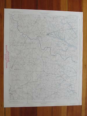
Spring Hope North Carolina 1942 Original Vintage USGS Topo Map
$ 21.09
- Description
- Size Guide
Description
Spring Hope Quadrangle North Carolina- 15 Minute SeriesPublished by the United States Geological Survey
Year Published: 1942
Edition Year: 1904
Places: Bailey, Middlesex, Momeyer, Spring Hope, Sims
Water Bodies: Camp Charles Lake, Corbetts Pond Number One, Crooked Creek, Cypress Creek, Finchs Millpond, Moccasin Creek, Morgans Pond, Perrys Pond, Press Prong, Sapony Creek, Stanciels Pond, Stony Creek, Tar River, Taylors Millpond, Toisnot Swamp, Turkey Creek, Webbs Millpond
Map may have red institutional rubber stamp and/or writing in the margin - please see the photograph. The map in the photo is the actual map you will receive. Map sheet measures approximately 17 X 21 inches.
All maps we sell are original USGS topographic maps, printed in the year stated in the title. We do not sell reproductions. Maps are shipped rolled up in a sturdy tube.
[8332]


