-40%
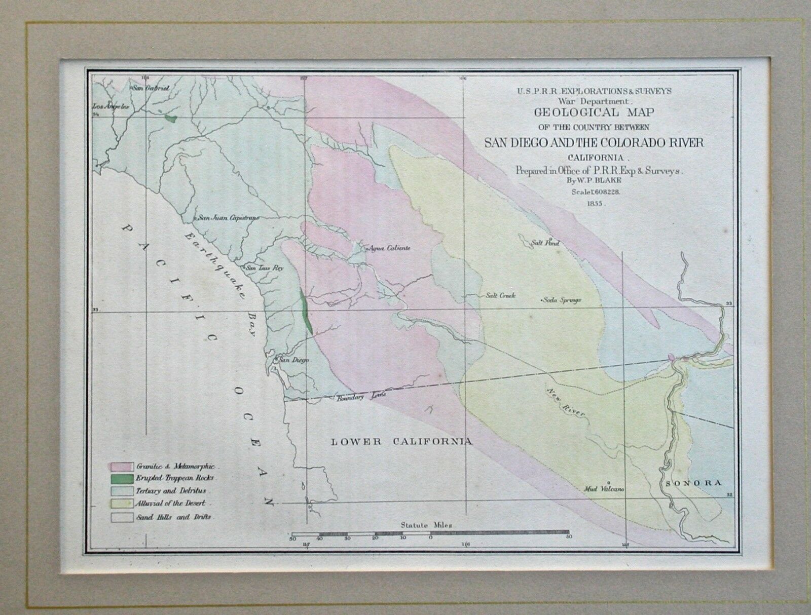
San Diego and the Colorado River California Hand Colored Map 1853
$ 15.83
- Description
- Size Guide
Description
Original hand colored lithographed map entitled "Geological Map of the Country Between San Diego and the Colorado River, California".Published in 1853 in the volume, "Report of Explorations in California for Railroad Routes to Connect With The Routes Near the 35th and 32d Parallels of North Latitude by Lieutenant R.S. Williamson, Corps of Topographical Engineers".
Size of the image is 6 3/4 x 9.
Very good condition. Shipped matted, ready for framing. Guaranteed to be from the period and not a later reproduction.
CHECK OUT OUR OTHER LISTINGS FOR AN ADDITIONAL MAP FROM THIS SERIES.
Please ask any and all questions before bidding. Winning bidder prepays including .00 domestic shipping by Priority Mail including insurance. Multiple purchases may be combined in order to save you money on postage.


