-40%
Original 1784 Map NORTON SOUND BERING STRAIT Captain Cook's 3rd Voyage Alaska
$ 158.39
- Description
- Size Guide
Description
Original1784
antique engraved map titled
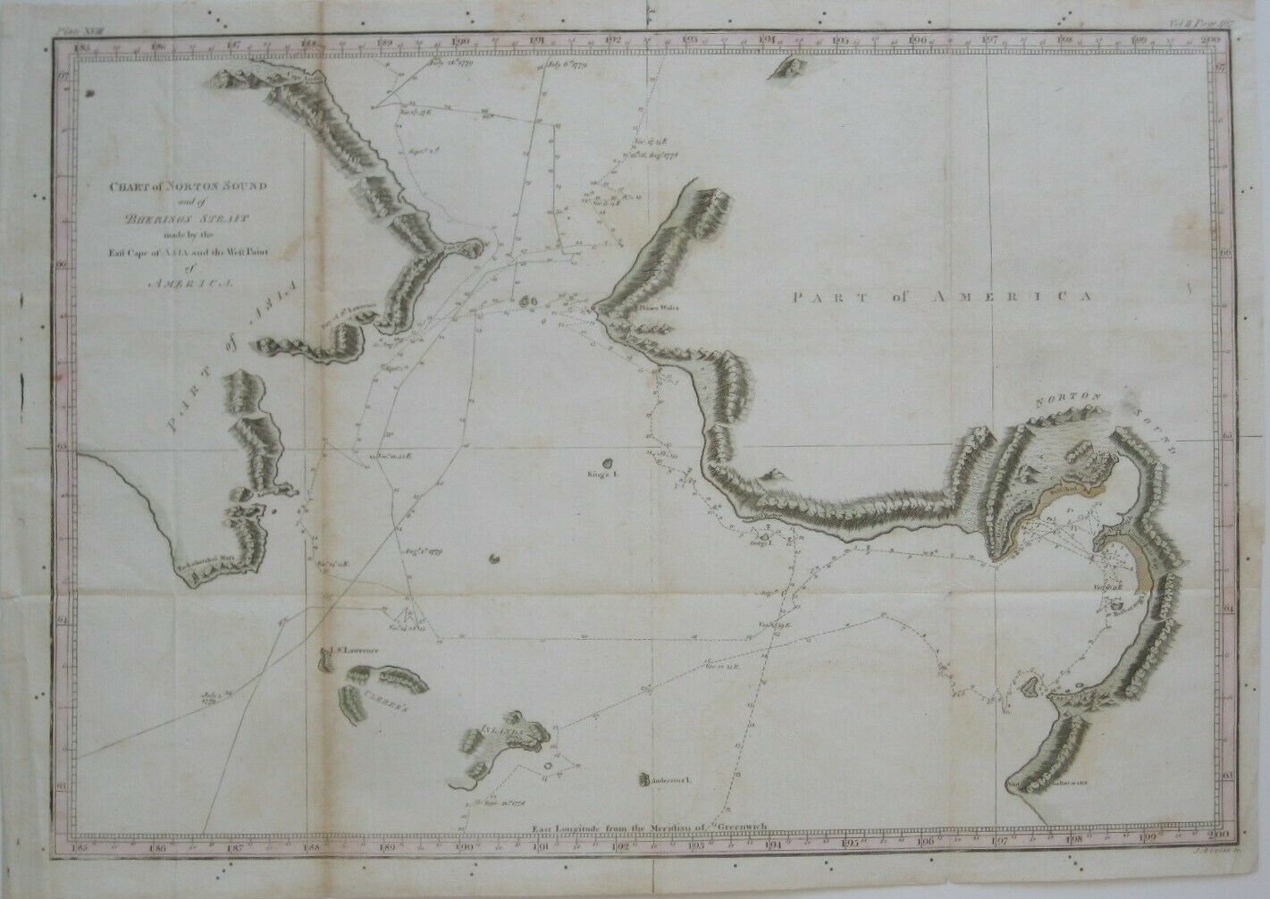
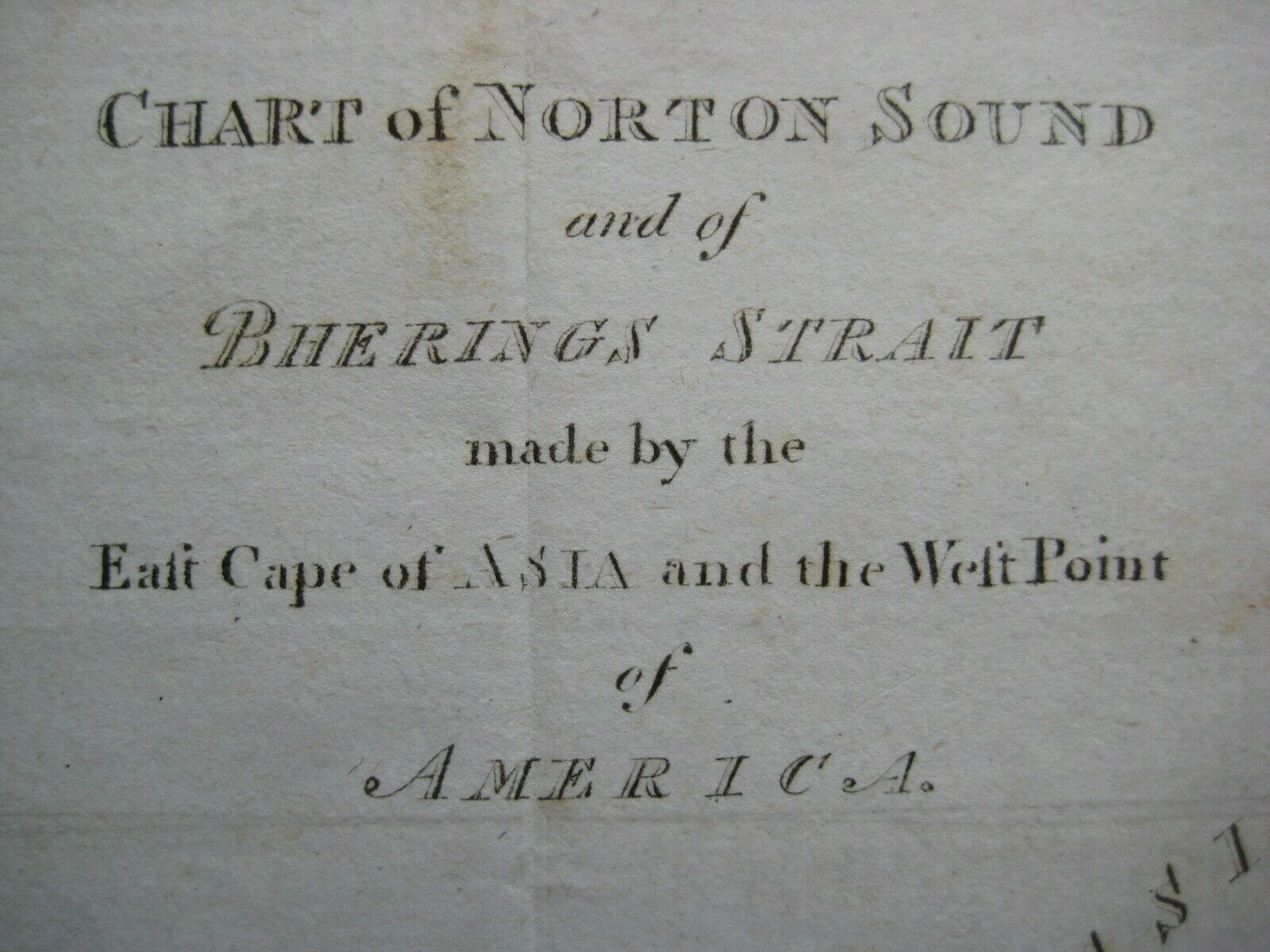
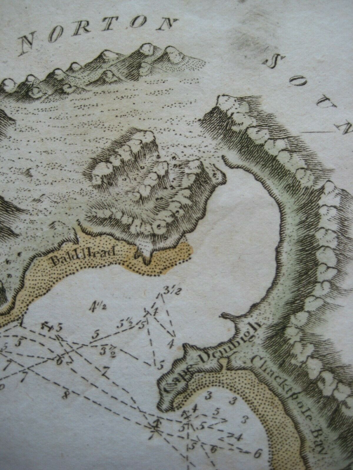
Chart of Norton Sound and of Behrings Strait made by the East Cape of Asia and the West Point of America.
It shows the routes followed on the third voyage of Captain James Cook, continued by his successor, Captain Charles Clerke, who took command after Cook was killed in a skirmish with Hawaiians.
The image area measures 26.8 x 38.9 cm [12½" x 15¼"], and topography is shown pictorially.
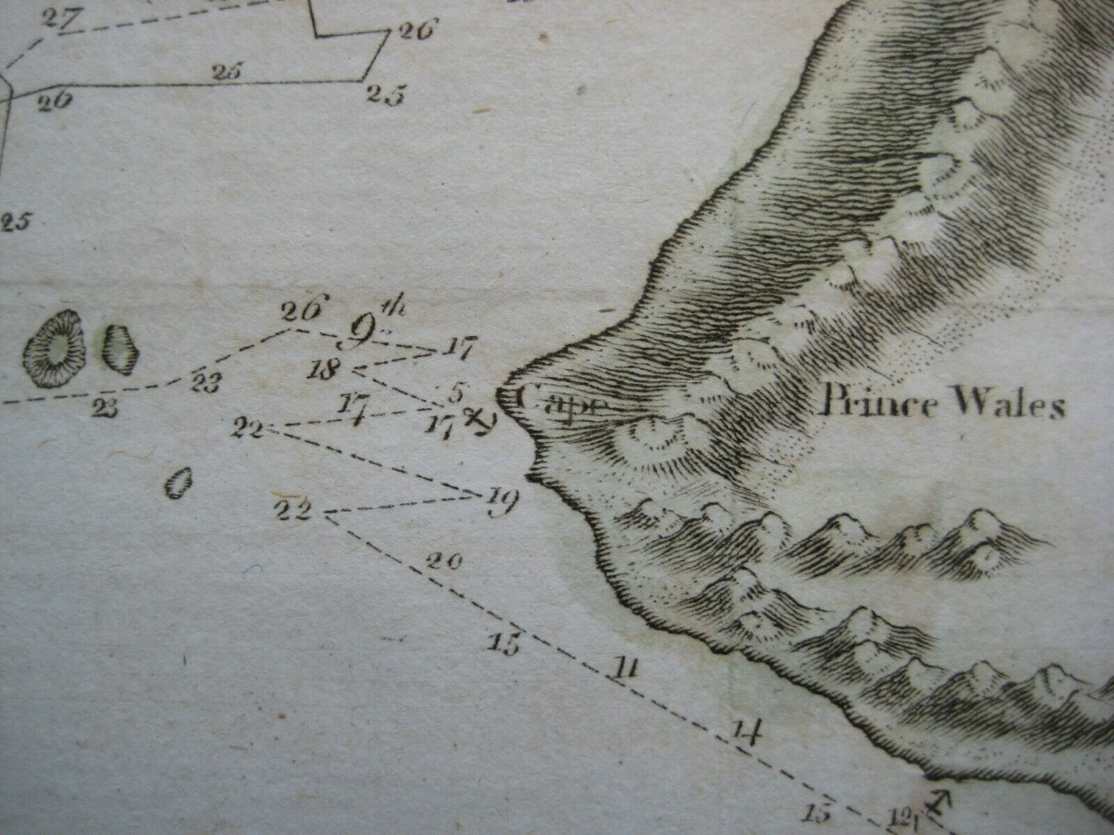
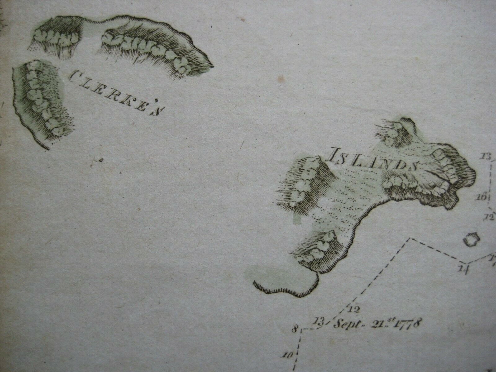
Among the named places and features are Saint Lawrence Bay, Tschukotskoi Noss, Norton Sound, Clerke's Islands, and Cape Prince of Wales, the westernmost mainland point of the Americas, named by Cook in 1778.
Numerals along the route lines give the position of the ships at various dates in 1778 and 1779.
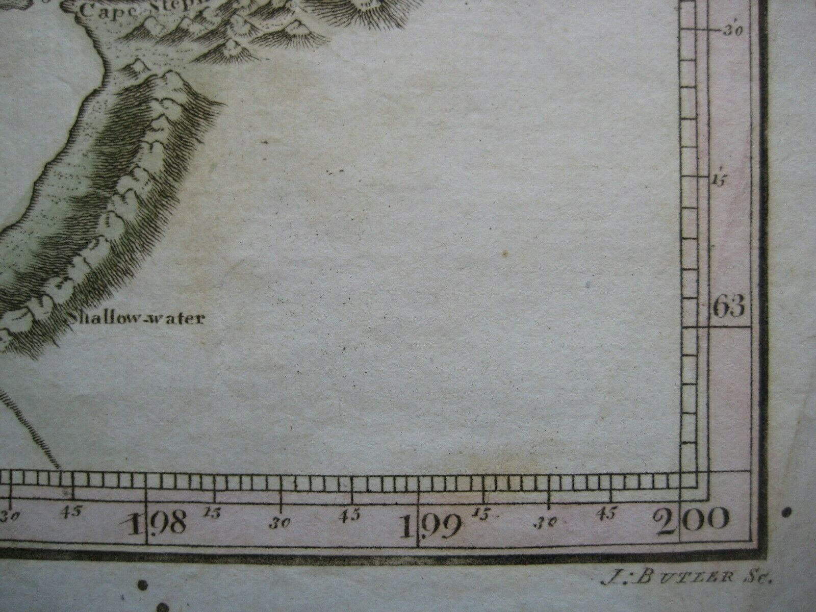
The map was engraved by J. Butler and published in Cook's
A Voyage to the Pacific Ocean: Undertaken by the Command of His Majesty, for Making Discoveries in the Northern Hemisphere, to Determine the Position and Extent of the West Side of North America; Its Distance from Asia; and the Practicability of a Northern Passage to Europe,
H. Chamberlaine, Dublin, 1784.
Condition:
This map is in very good condition, with folds, as issued, and a few faint spots. It is printed on a fine laid paper, with hand coloring and
no
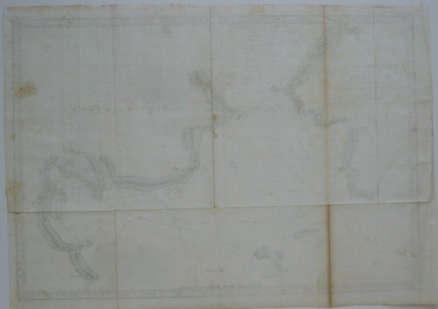
rips or tears. It is blank on the back with no printing on the reverse side. Please see the scans and feel free to ask any questions.
It is an
original
, authentic antique map,
not
a reproduction or modern reprint, and it is fully guaranteed to be genuine.
Buy with confidence! We are always happy to combine shipping on the purchase of multiple items — just make sure to pay for everything at one time, not individually.
Powered by SixBit's eCommerce Solution
