-40%
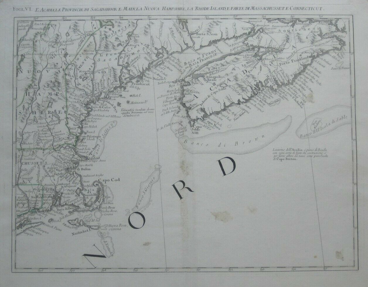
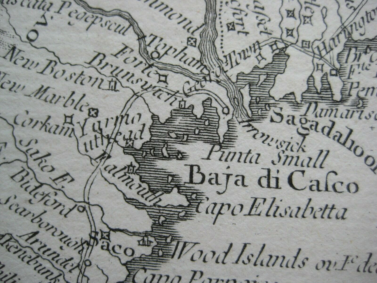
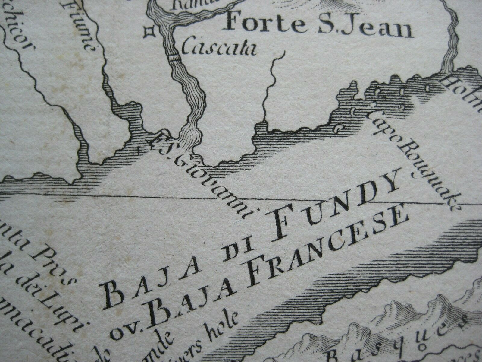
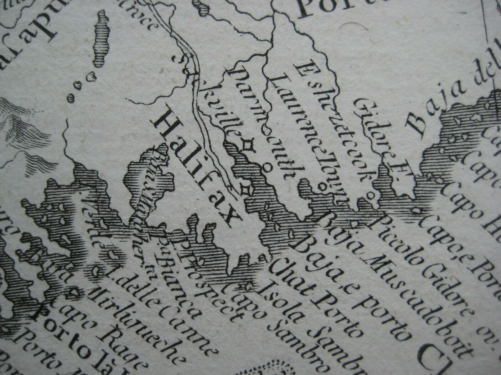
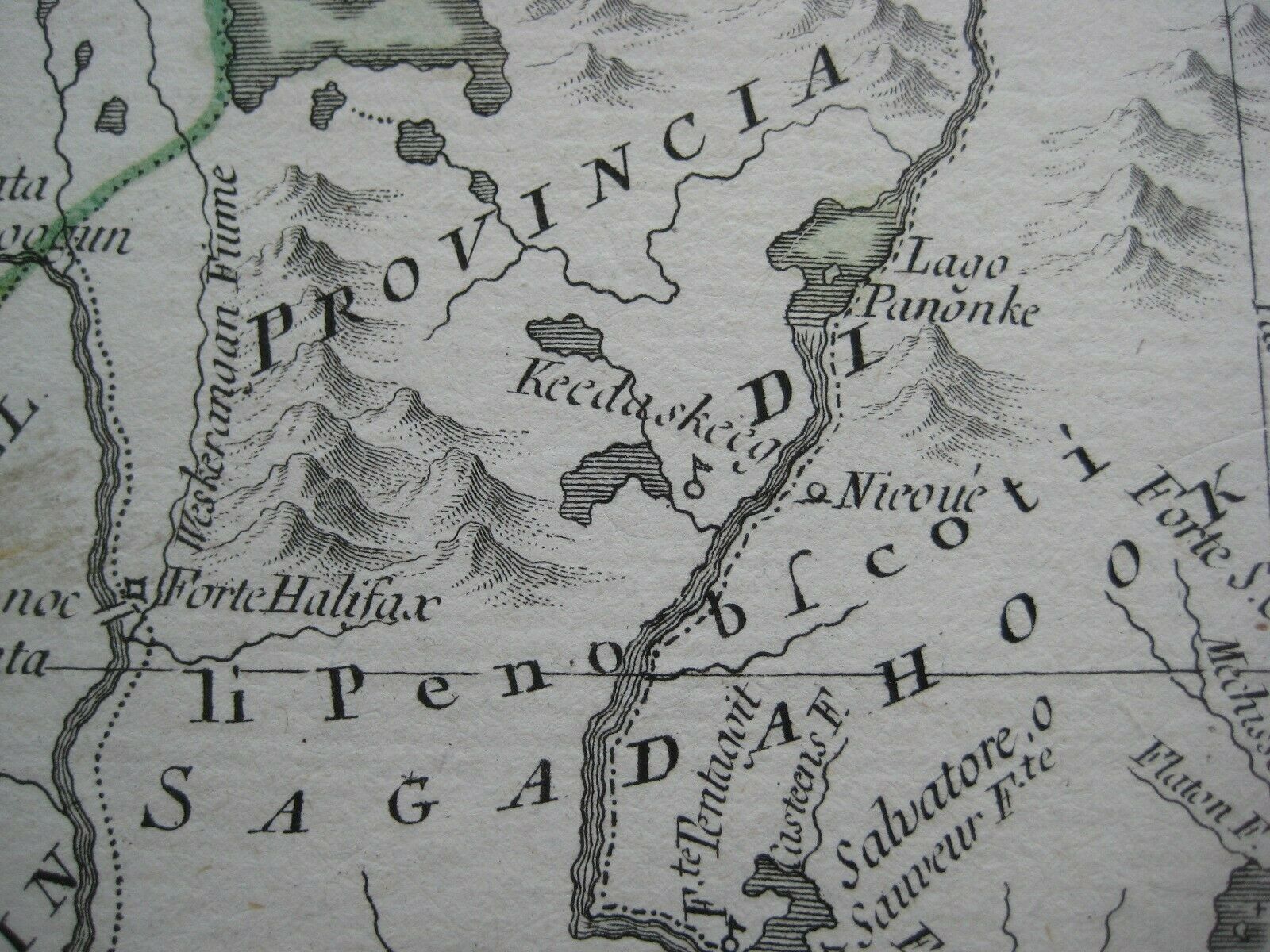
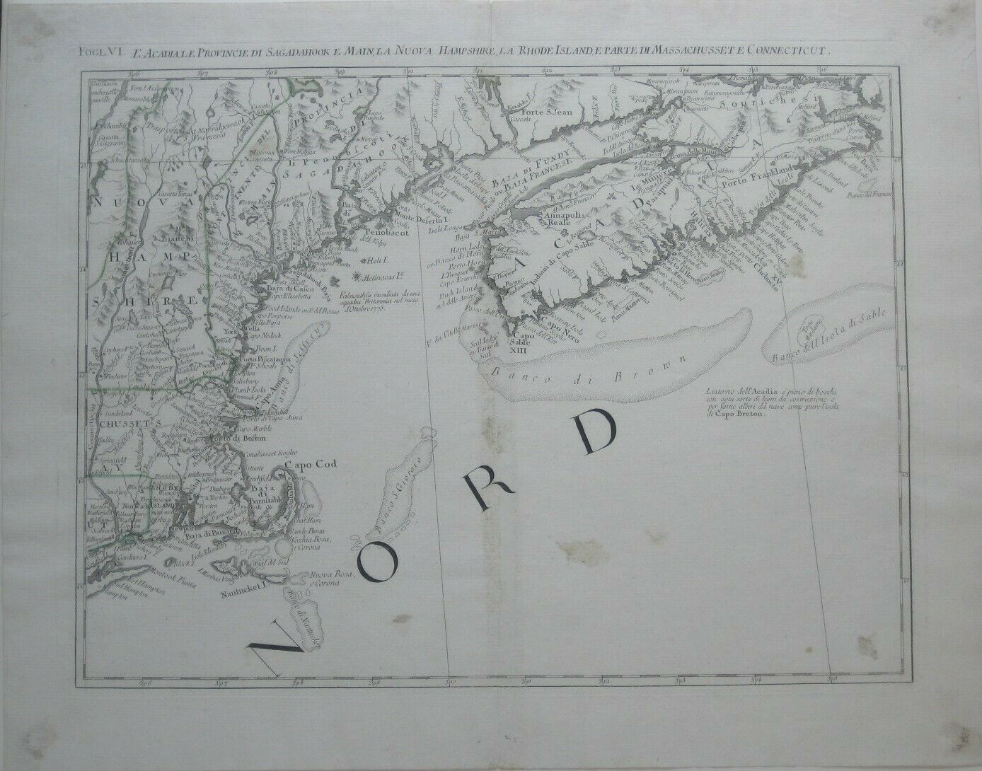
Original 1778 Zatta Map COASTAL NEW ENGLAND Cape Cod Nantucket Casco Bay Acadia
$ 184.79
- Description
- Size Guide
Description
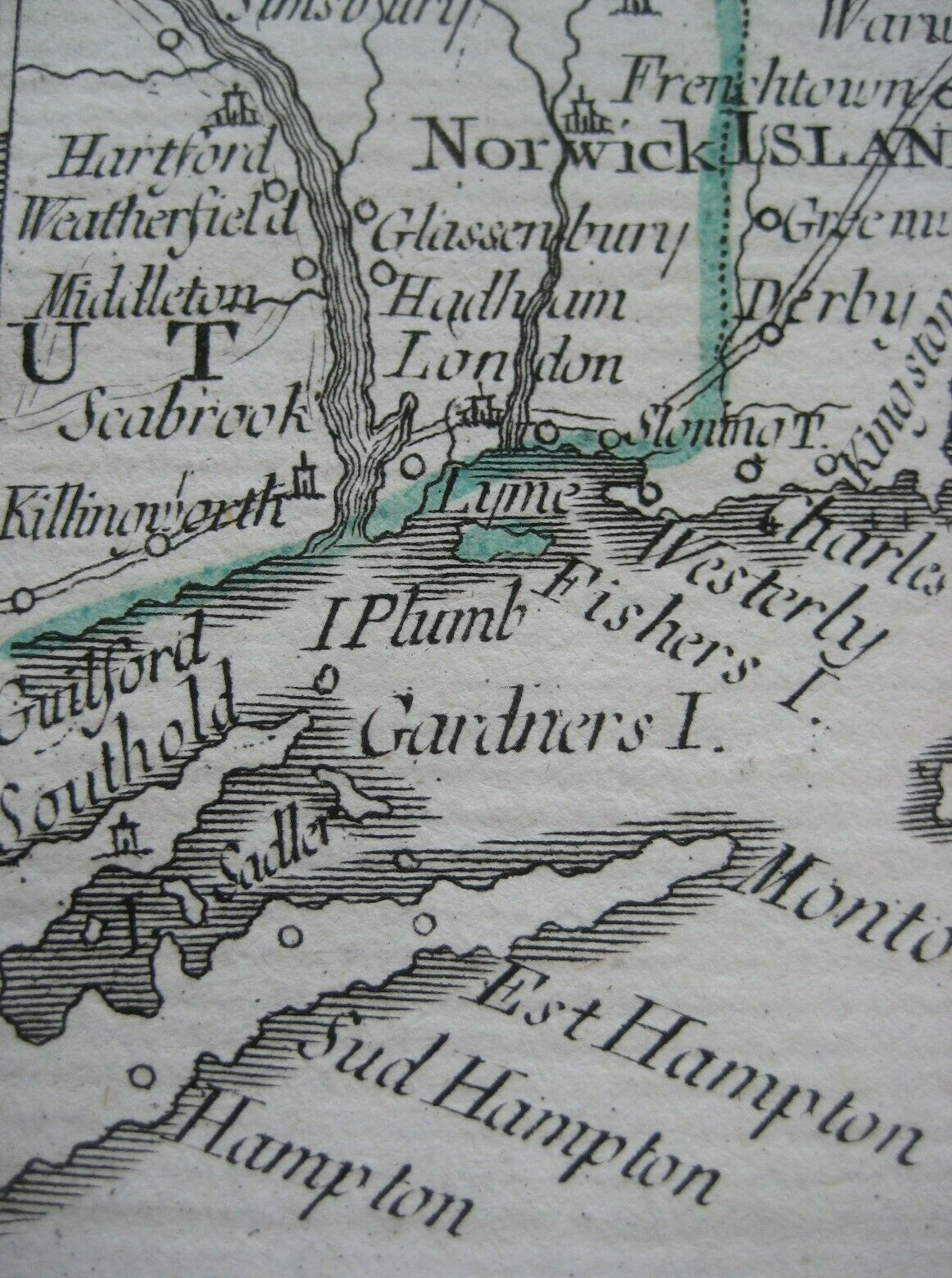
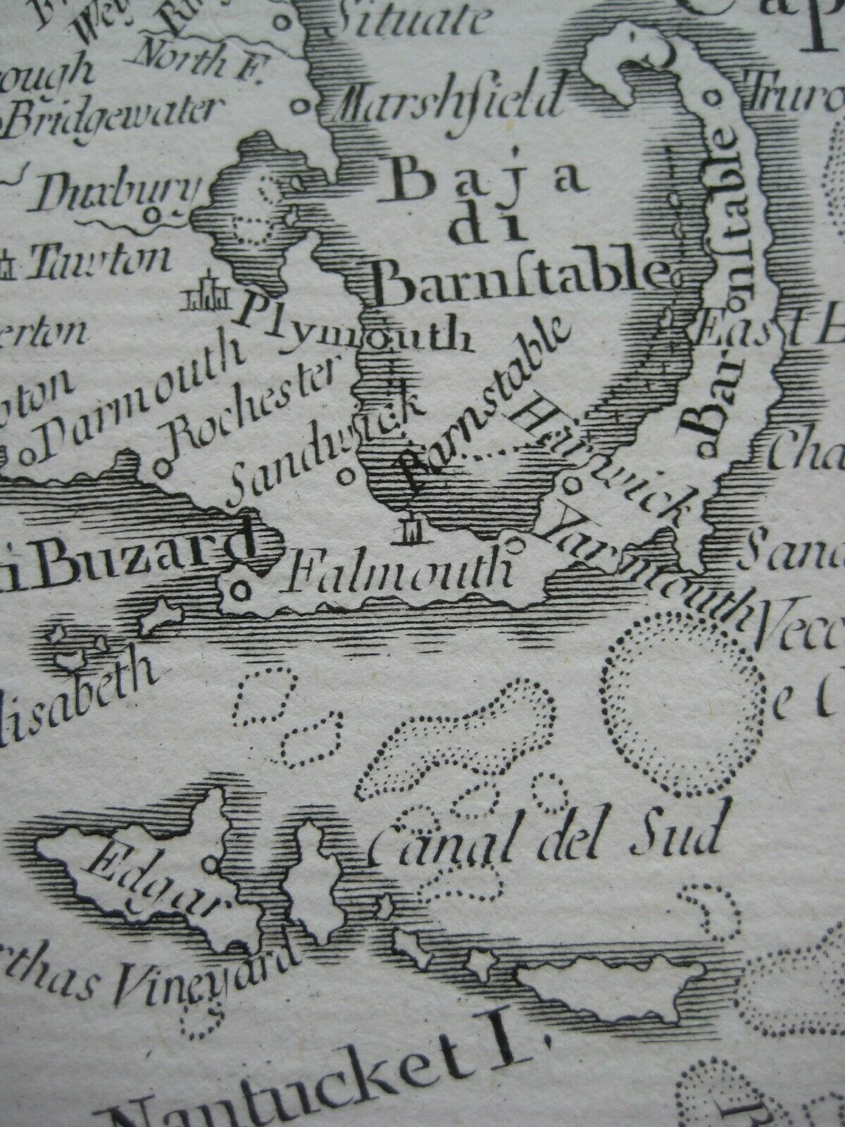
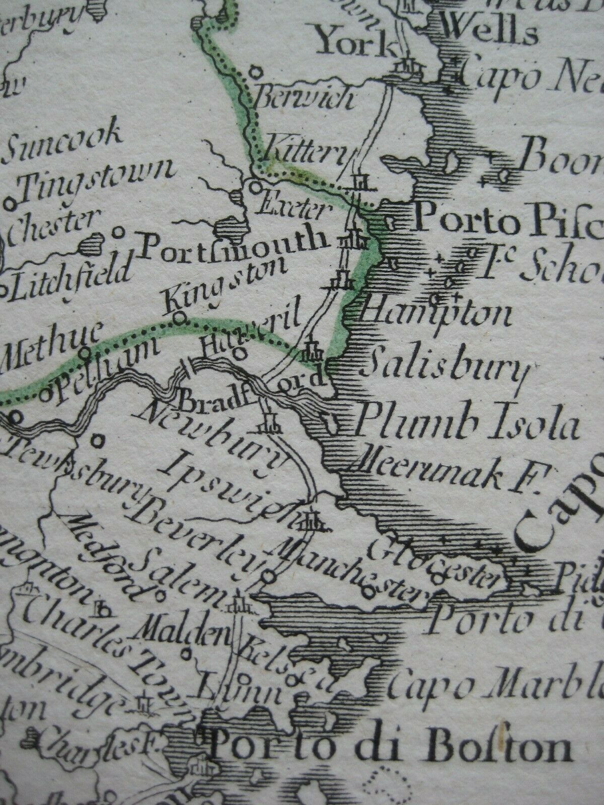
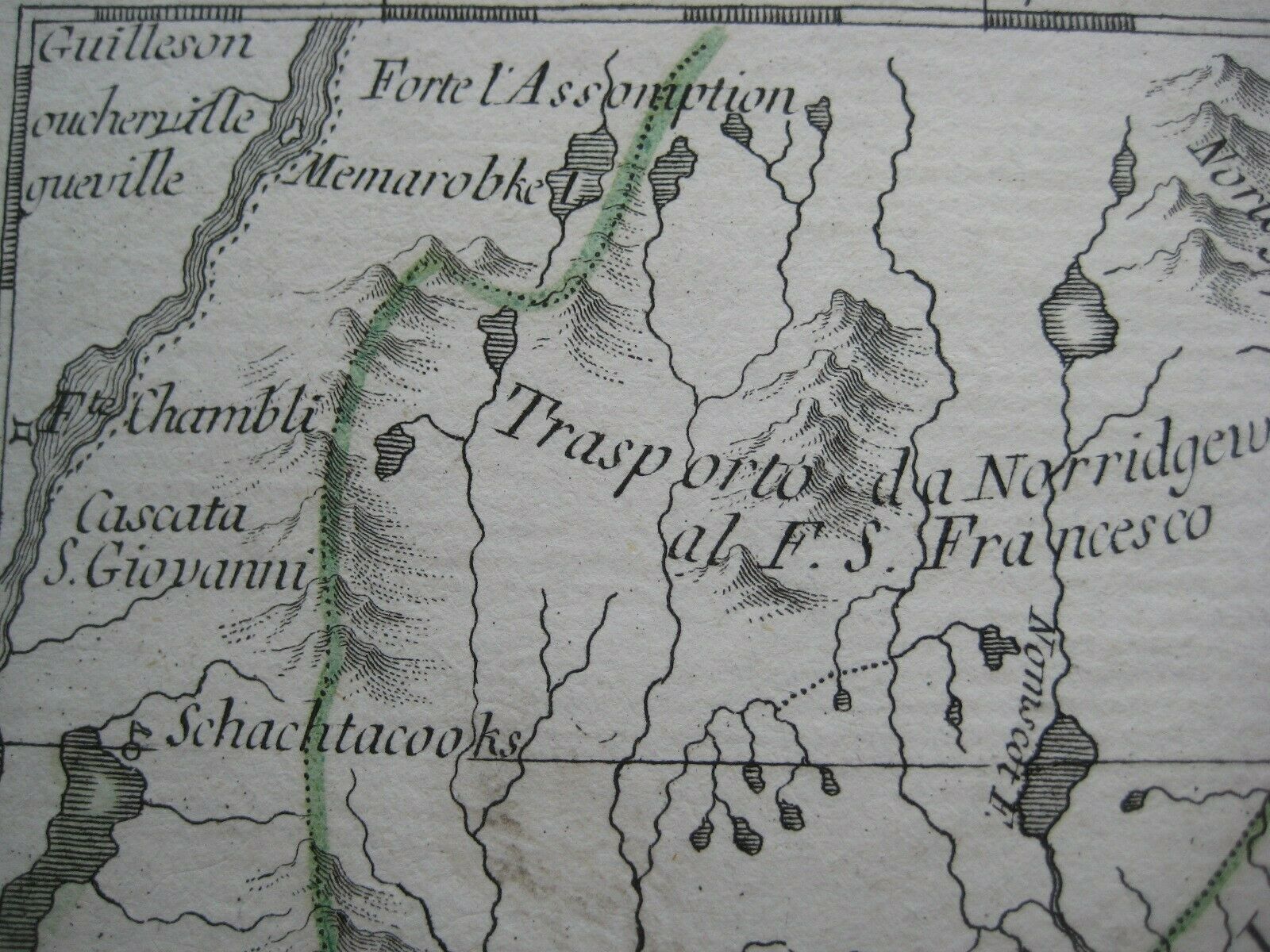
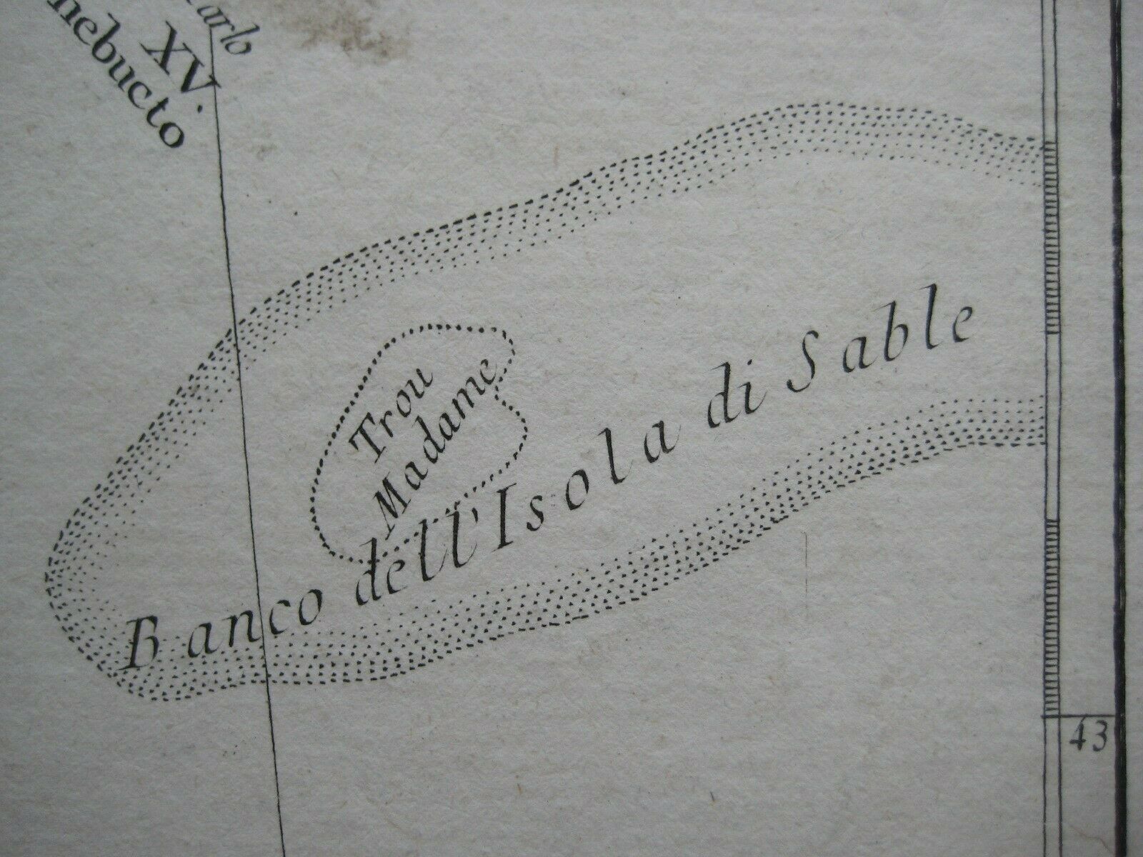
Original 1779 map by Antonio Zatta: "L'Acadia, le Provincie di Sagadahook e Main, la Nuova Hampshire, la Rhode Island, e parte di Massachusset e Connecticut."The coverage area extends from the Hamptons on Long Island to the Bay of Fundy, east to the fishing grounds of Sable Island, with excellent detail of coastal Massachusetts, Rhode Island, New Hampshire, Maine, New Brunswick, and Nova Scotia.
Topography is drawn in relief, and the map shows wagon roads, rivers, lakes, bays, islands, cities, and towns.
Among the named places and features are the Connecticut River, Boston, Portsmouth, Casco Bay, Halifax, Montauk Point, York, Newport, Wells, Springfield, Providence, Androscoggin River, Guilford, Block Island, Saint John, Martha's Vineyard, and the province of Sagadahook in present-day Maine.
The image area measures 33 x 43 cm [13" x 17"].
The map was published in Venice by Antonio Zatta in his
Atlante Novissimo, illustrato ed accresciuto sulle osservazioni, e scoperte fatte dai piu' celebri e piu' recenti geografi
. It is one of 12 sections comprising the Italian edition of John Mitchell's map of North America.
Condition:
This map is in very good condition, printed on a fine laid paper with a vertical center fold, as issued, a few scattered spots, and
no
rips or tears. It is blank on the back, with no printing on the reverse side. Please see the scans and feel free to ask any questions.
This is an
original
, authentic antique map,
not
a reproduction or modern reprint, and it is fully guaranteed to be genuine.
Buy with confidence! We are always happy to combine shipping on the purchase of multiple items — just make sure to pay for everything at one time, not individually.
Powered by SixBit's eCommerce Solution
