-40%
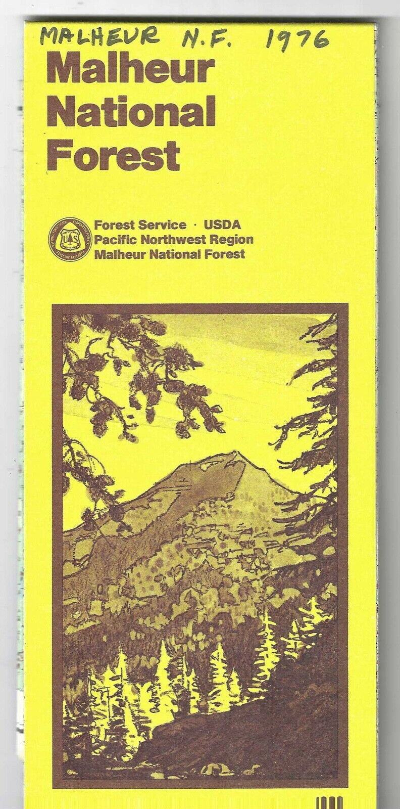
OREGON MalheurNational Forest Map 1980
$ 4.22
- Description
- Size Guide
Description
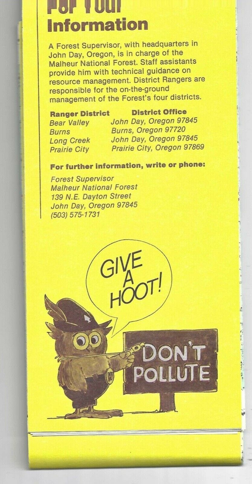
This is a USDA Forest Service Map of the Malheur National Forest, Oregon. Dated 1980 on the map but a different date is written on the top of the face of the map. Shows campsites, trails, mountains, rivers, etc. Wonderful condition. The name of the forest and a date are written on the face. There is no other writing, no soiling, Original folds. Please feel free to email questions.0721


