-40%
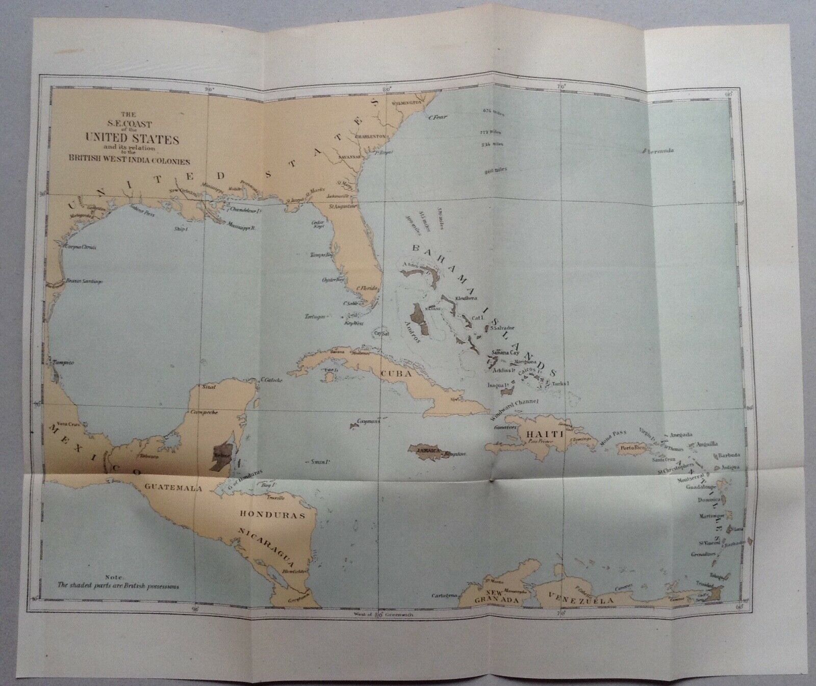
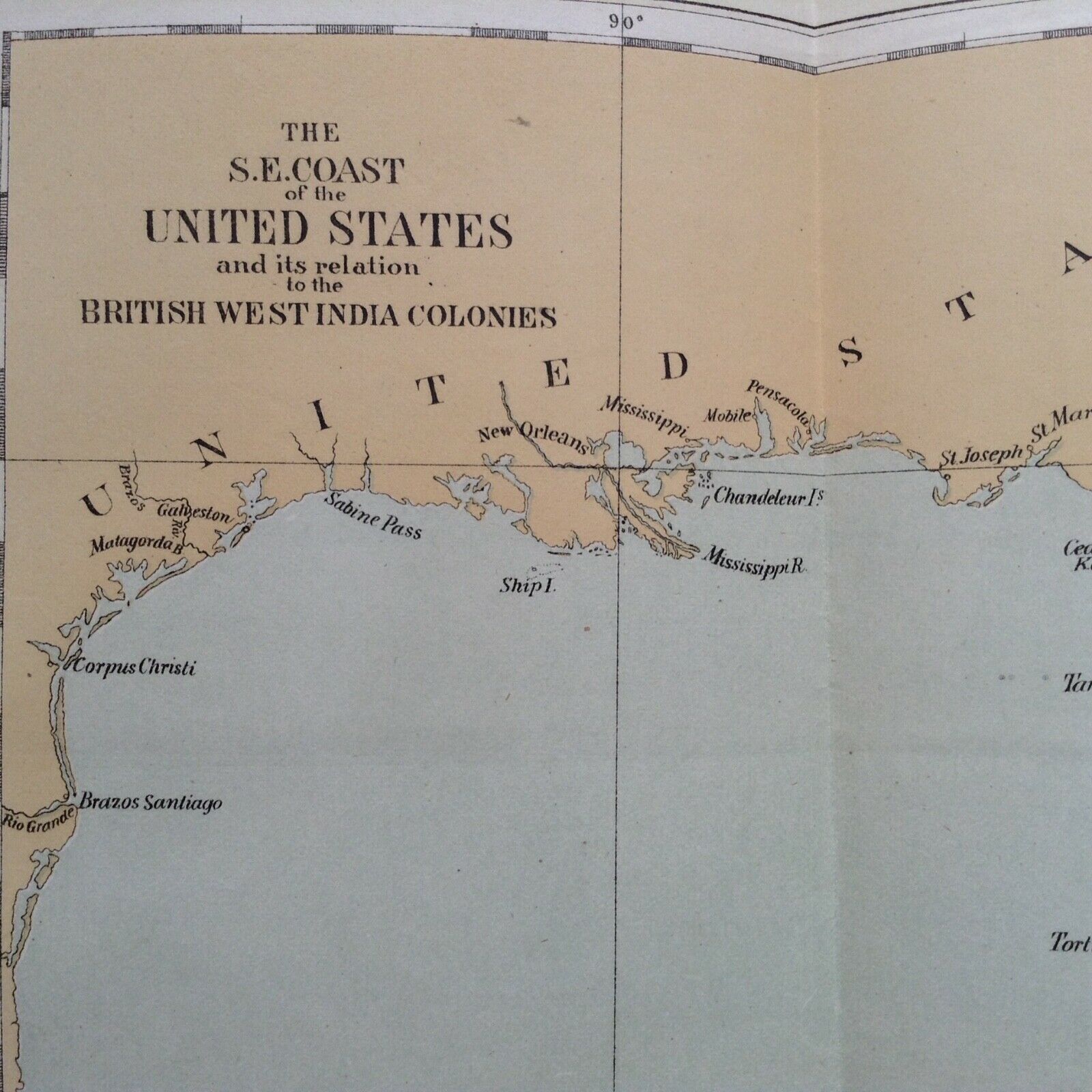
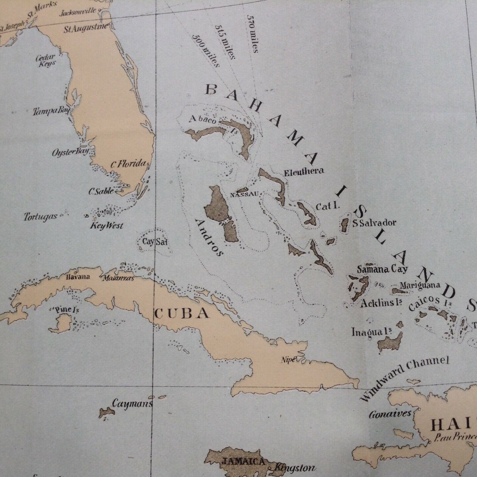
Map of the S.E. Coast of the U.S/West Indies 1872
$ 5.28
- Description
- Size Guide
Description
Simple colorful map showing the southeast United States and British Colonies highlighted from a government report in 1872. International shipping will be in standard envelope to avoid customs delay.paper size is 15 x 12.5 inches.
