-40%
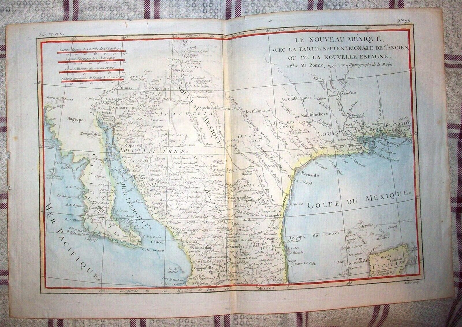
MAP OF REPUBLIC OF MEXICO - JAMES WYLD - ATLAS OF THE WORLD 1840 - 1850?
$ 131.99
- Description
- Size Guide
Description
This map is in good to very good condition with the edges showing wear and use. This was in the Atlas of the World by James Wyld. The map was published between 1840 and 1850 we believe. The map is hand colored and shows the Republic of Mexico. This states "Mexico under Spanish Government consisted of 12 Intendancies and 3 Provincies, viz." This also has a "Nt. By a Decree of the Congress in 1824 this Country was re-divided into 19 States and 5 Territories, but their limits are not described." The map measures 13 1/2 inches by 10 1/4 inches.Powered by SixBit's eCommerce Solution


