-40%
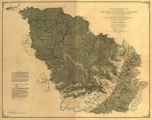
Map of New River and Kanawha coal fields WV c1905 24x30
$ 5.25
- Description
- Size Guide
Description
Map of New River and Kanawha coal fields WV c1905 reprint 24x30Item Description
General and regional map of that portion of the New River and Kanawha coal fields lying between the New, Kanawha and Guyandot Rivers and west of Piney Creek. Shows coal company boundaries. Includes explanatory notes.
Reproduction print.
Size :
24"
x
30"
½" inner white borders all around.
Please check out our Ebay store regularly for eclectic choices of fine reproduction maps and posters prints!
Thank you for looking, and Happy Bidding!


