-40%
LOT 1883 antique 2 MAPS HIGHLAND pa from breou's atlas 28.5x20.5 large AND OTHER
$ 46.43
- Description
- Size Guide
Description
LOT 1883 antique 2 MAPS HIGHLAND pa from breou's atlas 28.5x20.5 large AND OTHERSCROLL DOWN for MORE PHOTOS
in DESCRIPTION
Click
HERE
to view or search ANTIQUE.COTTAGE listings.
LOT 1883 antique 2 MAPS HIGHLAND pa from breou's atlas 28.5x20.5 large AND OTHER
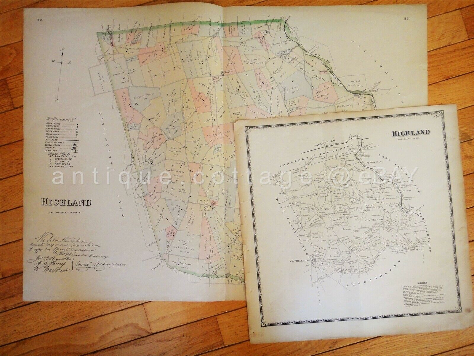
This listing is for the original 2-page spread map shown plus a smaller map. Large map measures 28.5"x20.5". This map was previously in Berou's Official Series of Farm Maps Chester County Pennsylvania, by W. H. Kirk & Co., Philadelplhia, 1883.
The map is blank on the back.
The map is good for age and size, but not perfect. You can see some antique wear including some edge tears/slits, light foxing, repair, a spot, etc. Excellent to frame.
Shape coding represents various attributes such as Brick Dwellings, Frame Dwellings, Stone Barn, Brick Stables, Frame Stables. Different shapes are also used to reference different buildings, barns, church, school, post office, etc.
The coloring and clarity of this looks much better in person.
There is also a second map as shown, removed from a different atlas. Undated. Crease in center and other antique wear as you can see.
This will ship rolled in a tube.
CONDITION
: see description and supersized photos
- International buyers are responsible to pay VAT or other Taxes to their countries as required.
- eBAY collects and remits sales tax on behalf of several states. If you are a dealer, you can write to eBay to file a form to become tax exempt.
LOC:
LOC2:
FLATSHELF-B10-MULTI-TM (large, inside breou atlas pages)
Powered by SixBit's eCommerce Solution


