-40%
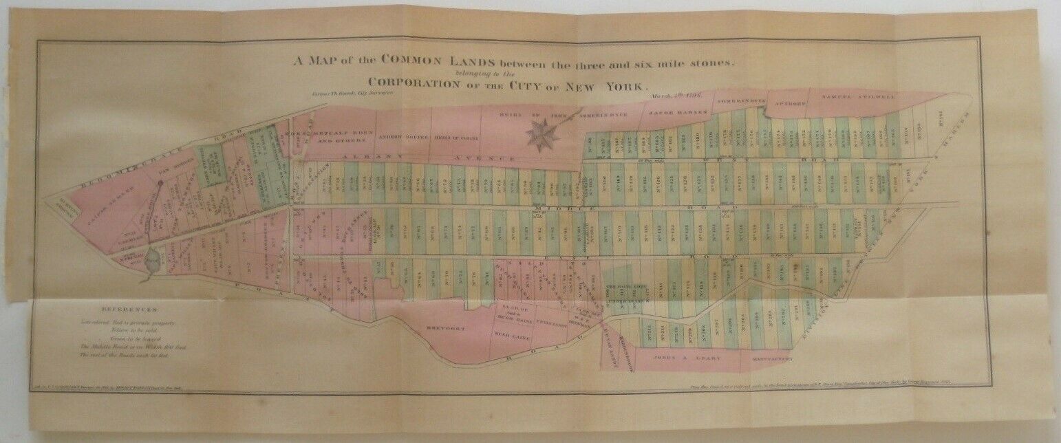
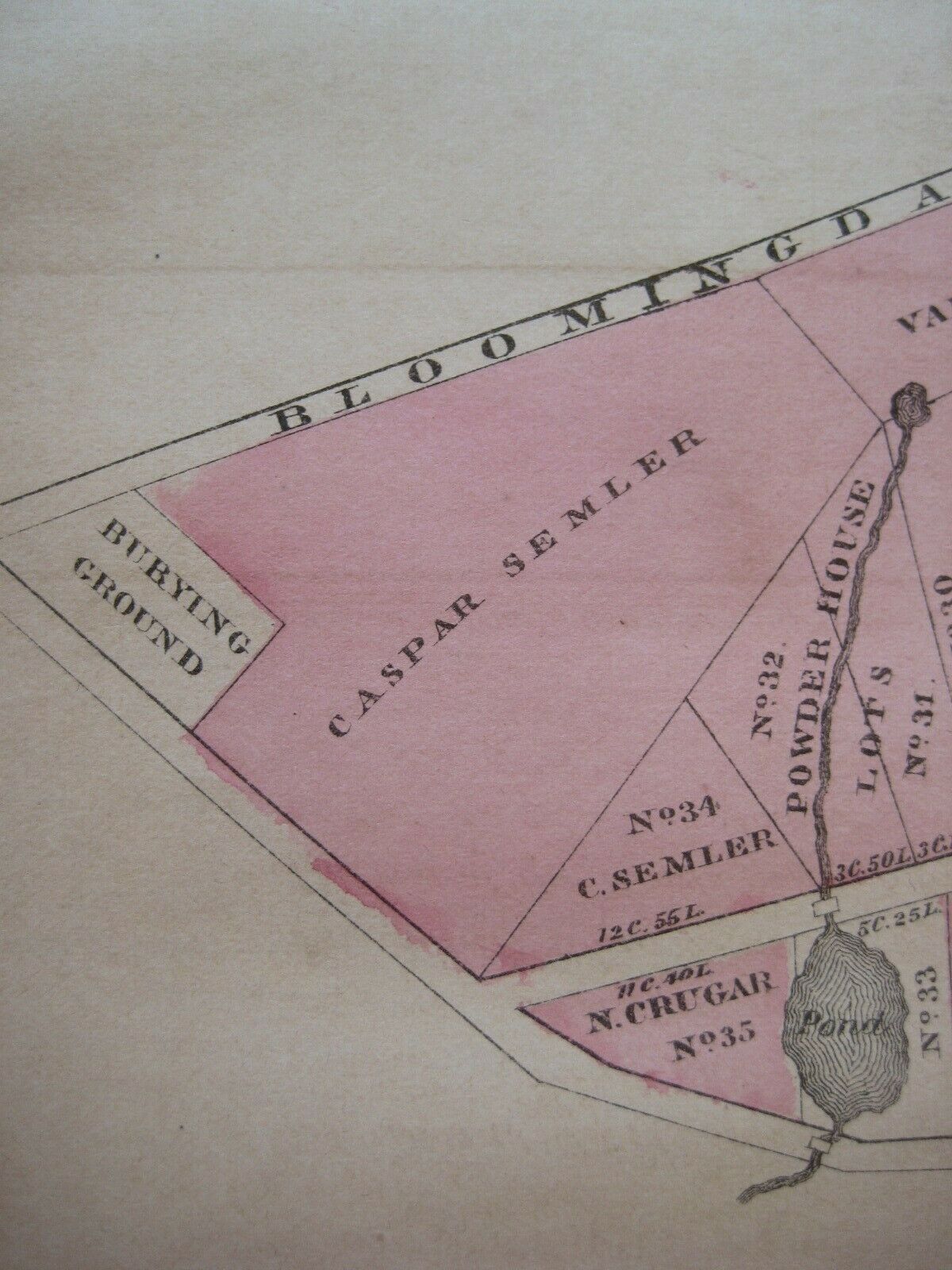
Casimir Goerck 1796 Map MANHATTAN New York City Bloomingdale Road Burying Ground
$ 79.19
- Description
- Size Guide
Description
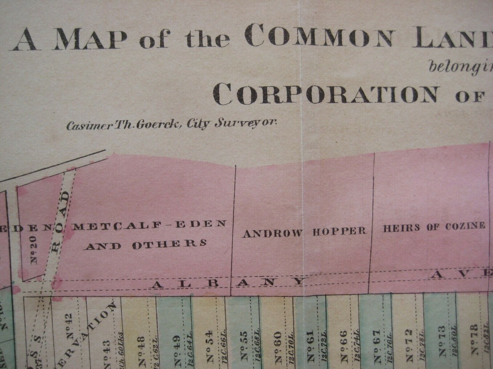
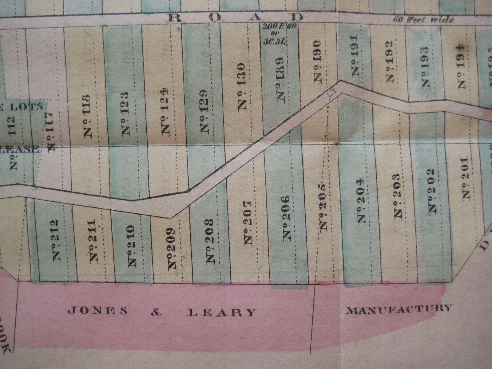
Scarce antique lithographed map in original hand color depicts the central part of Manhattan, with numbered plots of common lands as well as areas of ownership, with owners' names.It is titled
A Map of the Common Lands between the three and six mile stones, belonging to the Corporation of the City of New York
and was compiled in 1796 by City Surveyor Casimir Theodor Goerck.
The coverage area extends from today's Madison Square (23rd Street) to the middle of the reservoir in Central Park (90th Street), between Second and Seventh Avenues.
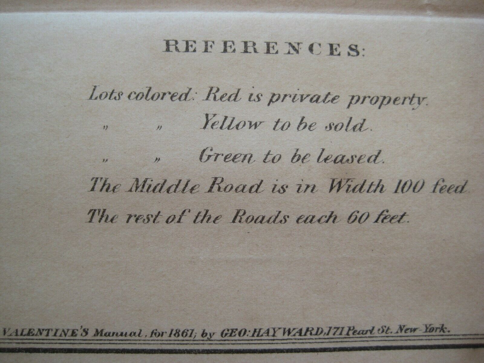
The legend key identifies private property and lots to be leased or sold.
Among the named features are Bloomingdale Road, Powder House, Burying Ground, and the boundary line between New York and Harlem.
The image area measures 17.8 x 48.7 cm [7" x 19¼"].
This map was lithographed by George Hayward in 1861 from Goerck's original, "with the kind permission of Robert T. Haws, Comptroller of the City of New York."
It was published in the 1861 edition of
Valentine's Manual
.
Condition:
It is in
excellent condition,
bright and clean, with folds, as issued, and
no
marks, rips or tears. It is printed on a lightweight paper, is trimmed close to the neat line at the lower left corner, and is blank on the back, with no printing on the reverse side. Please see the scans and feel free to ask any questions.
This is an
original
, authentic antique map,
not
a reproduction or modern reprint, and it is fully guaranteed to be genuine.
Valentine's Manual,
published serially from 1841 to 1870, was the first comprehensive portrait of the city. It is more formally known as the
Manual of the Corporation of the city of New York
, compiled by David Thomas Valentine.
Buy with confidence! We are always happy to combine shipping on the purchase of multiple items — just make sure to pay for everything at one time, not individually.
Powered by SixBit's eCommerce Solution
