-40%
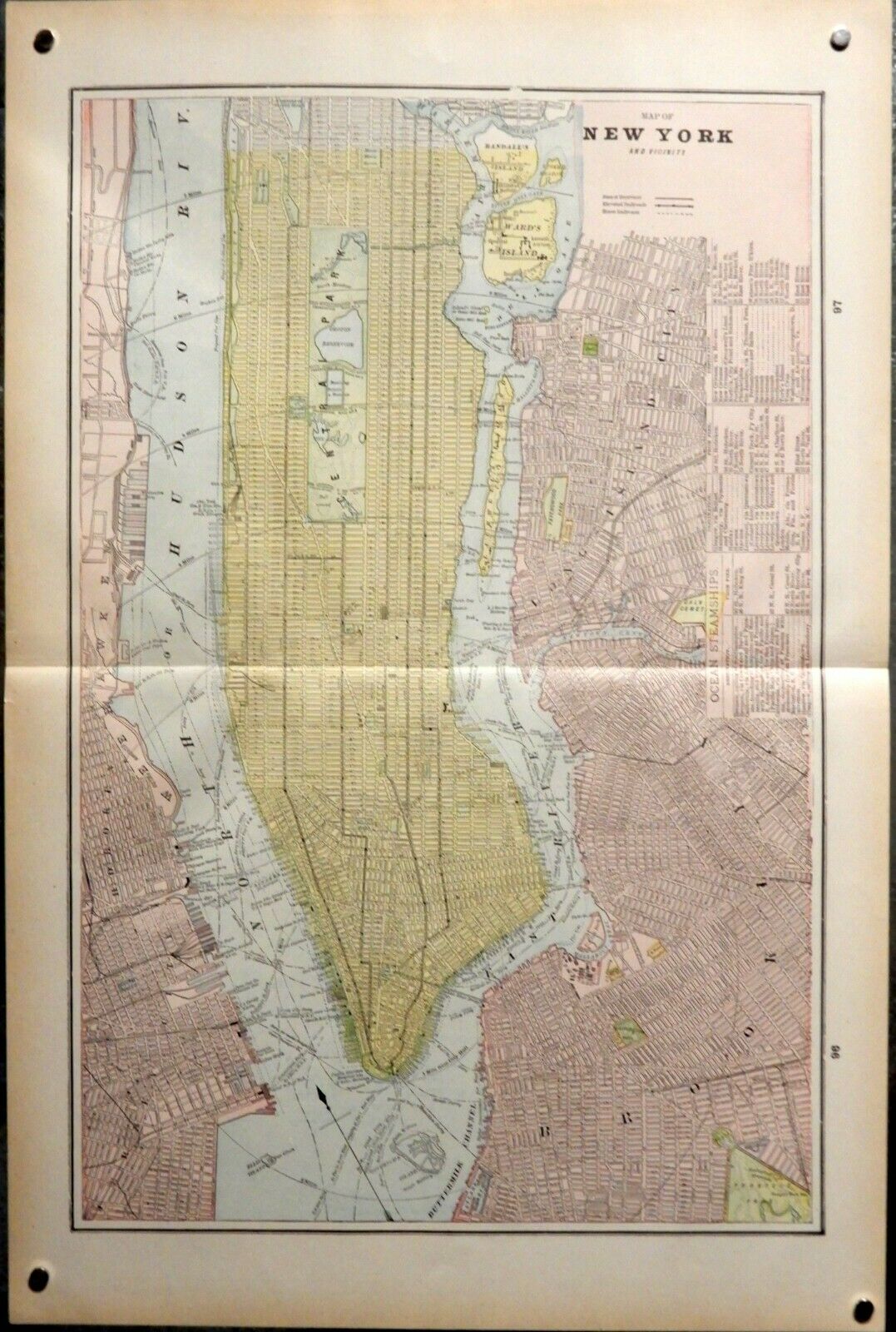
ANTIQUE MAP: NEW YORK CITY - 1897 Cram's Universal Atlas - 12 1/4 x 18 1/4 "
$ 18.45
- Description
- Size Guide
Description
Vintage map of NEW YORK AND VICINITY. Published by Cram's Universal Atlas, 1897. This is a double-page map measuring 12 1/4 X 18 1/4 inches, plus blank margins. Folded as issued, this copy is bright and clean, no handling wear. First image is from a photograph (with magnets at corners), the second two are from a tabloid size scanner, and best shows the color of the map and paper tone. Note: on edge is listed Ocean Steamships. Vintage, not a modern reproduction. A great copy for framing, ships stored in a paper lined plastic sleeve, rolled in a shipping tube.Unrelated maps on backside.
QUESTIONS ARE ALWAYS WELCOME.


