-40%
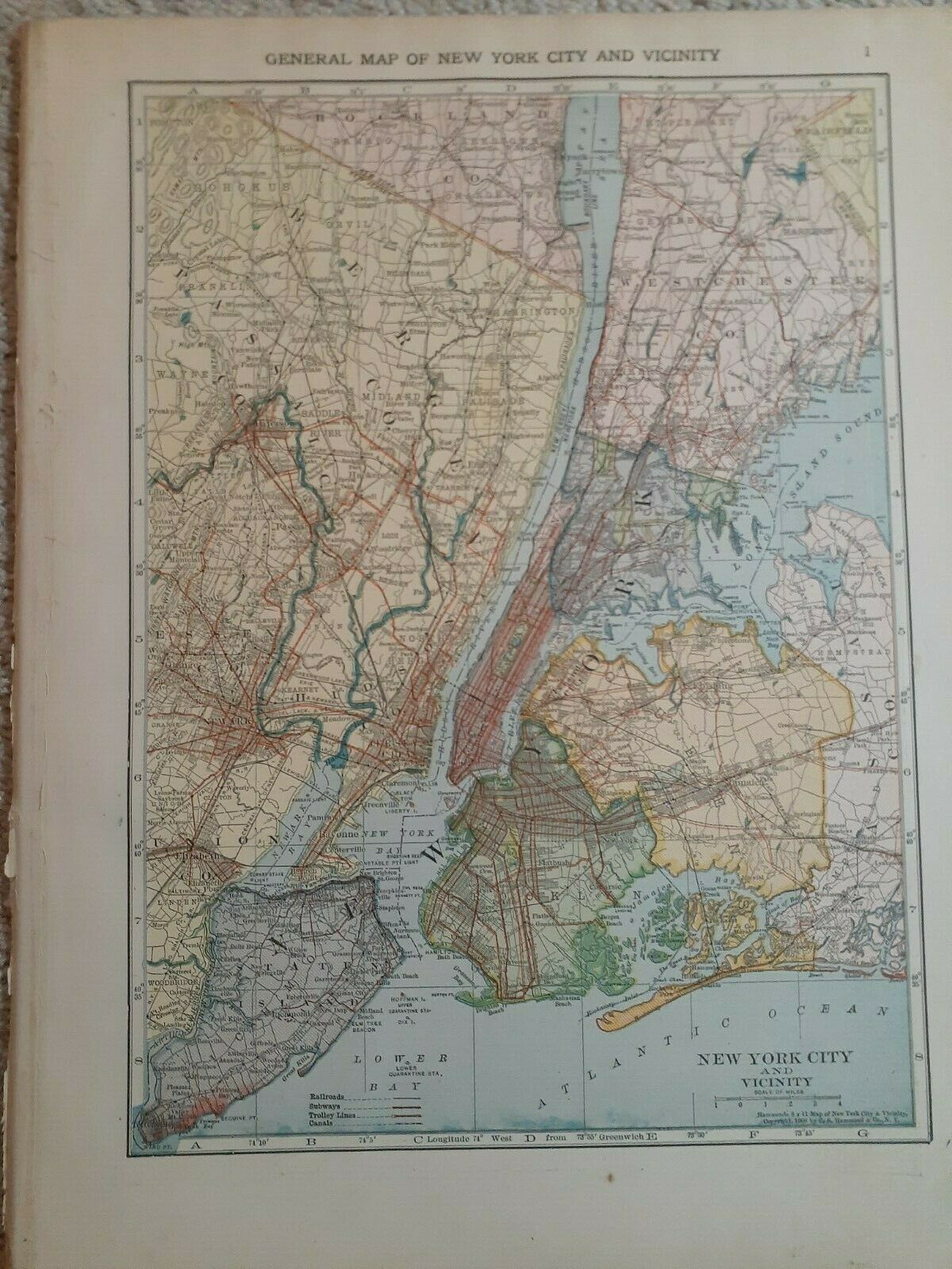
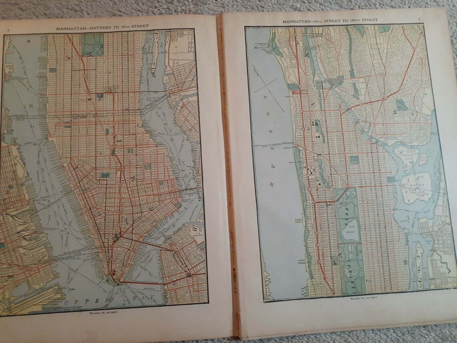
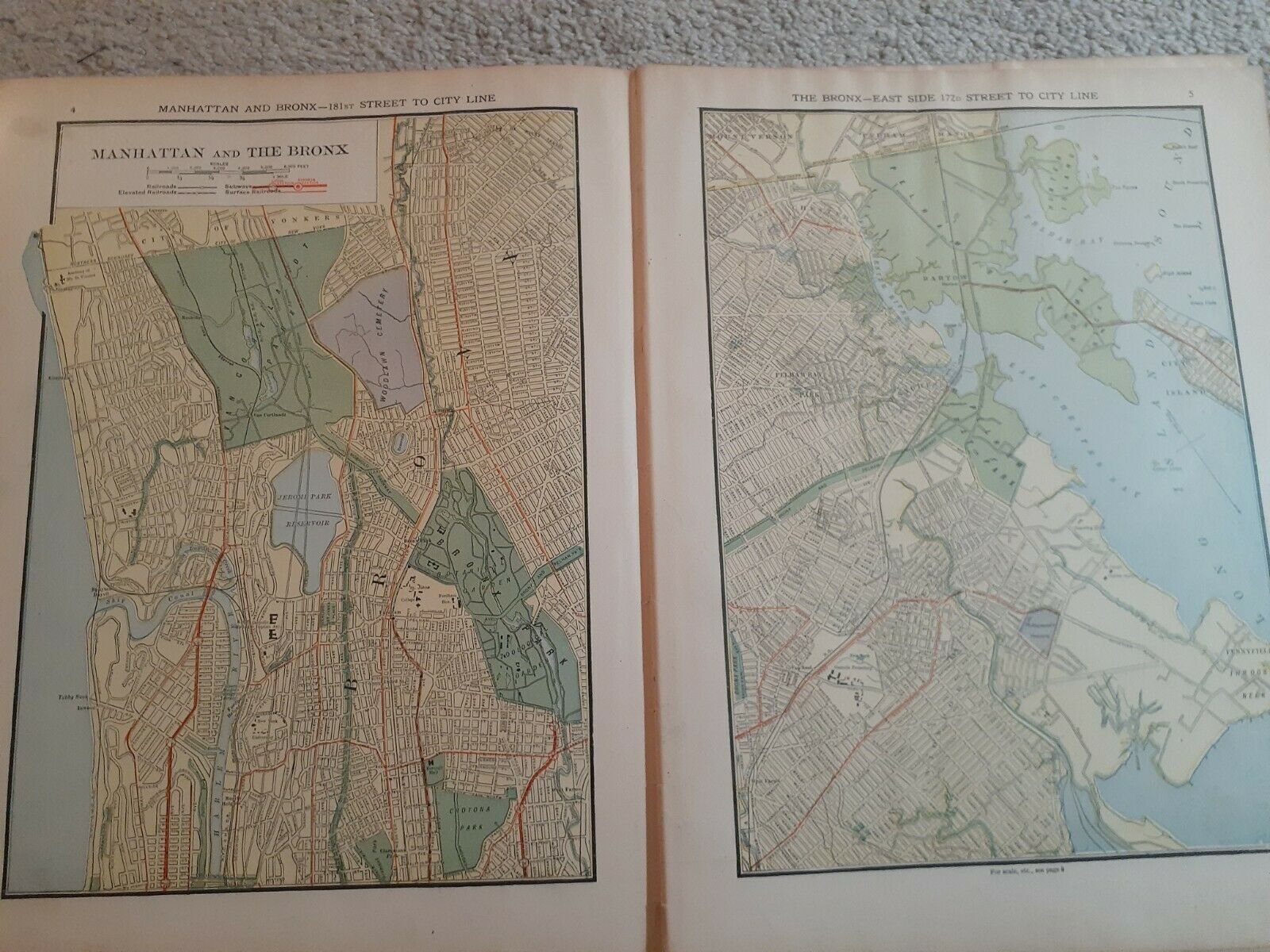
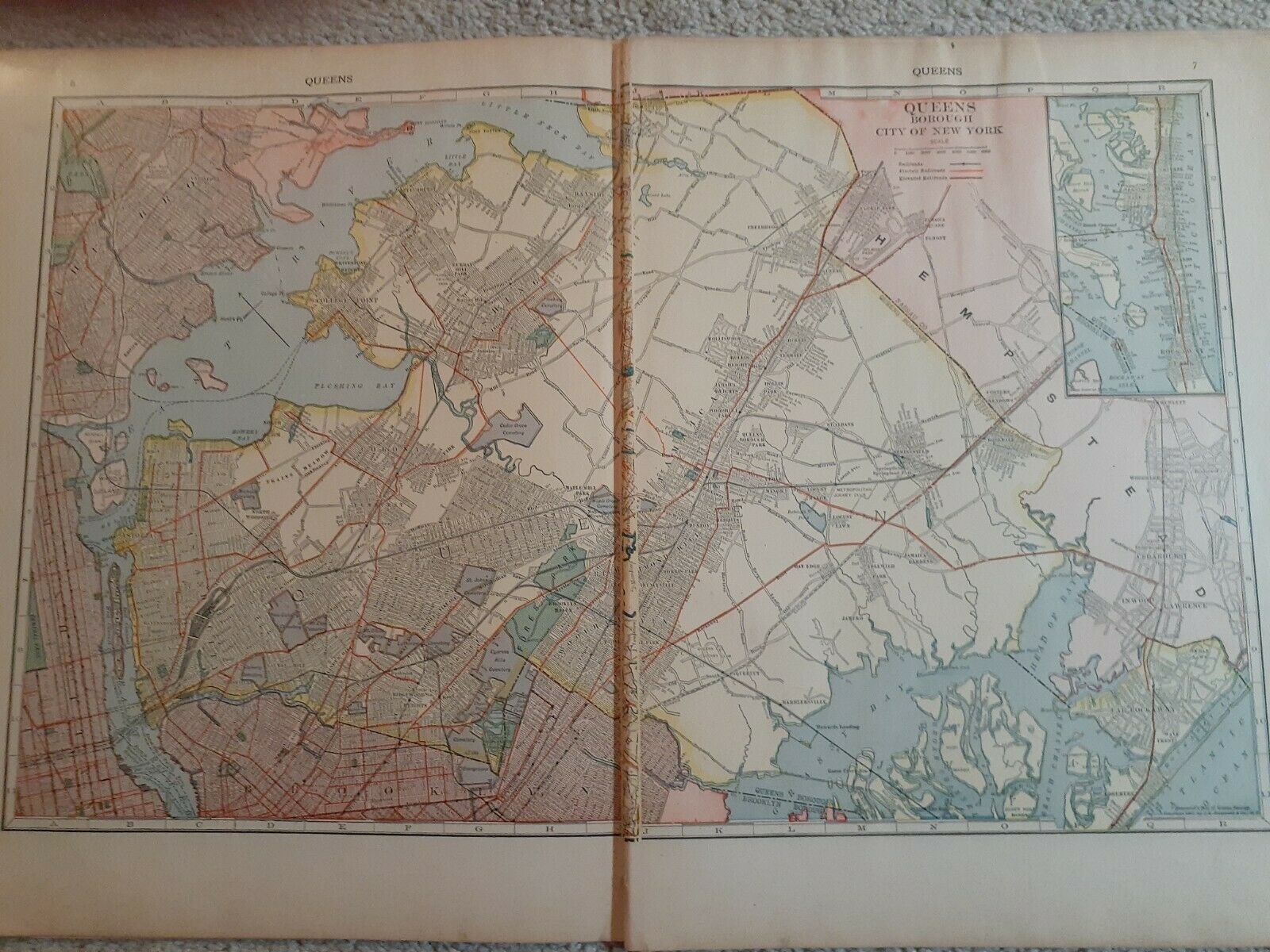
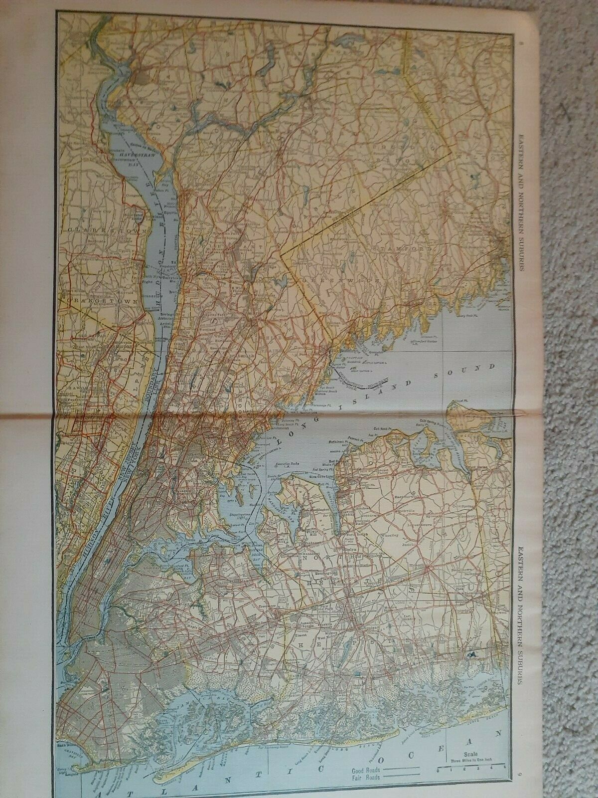
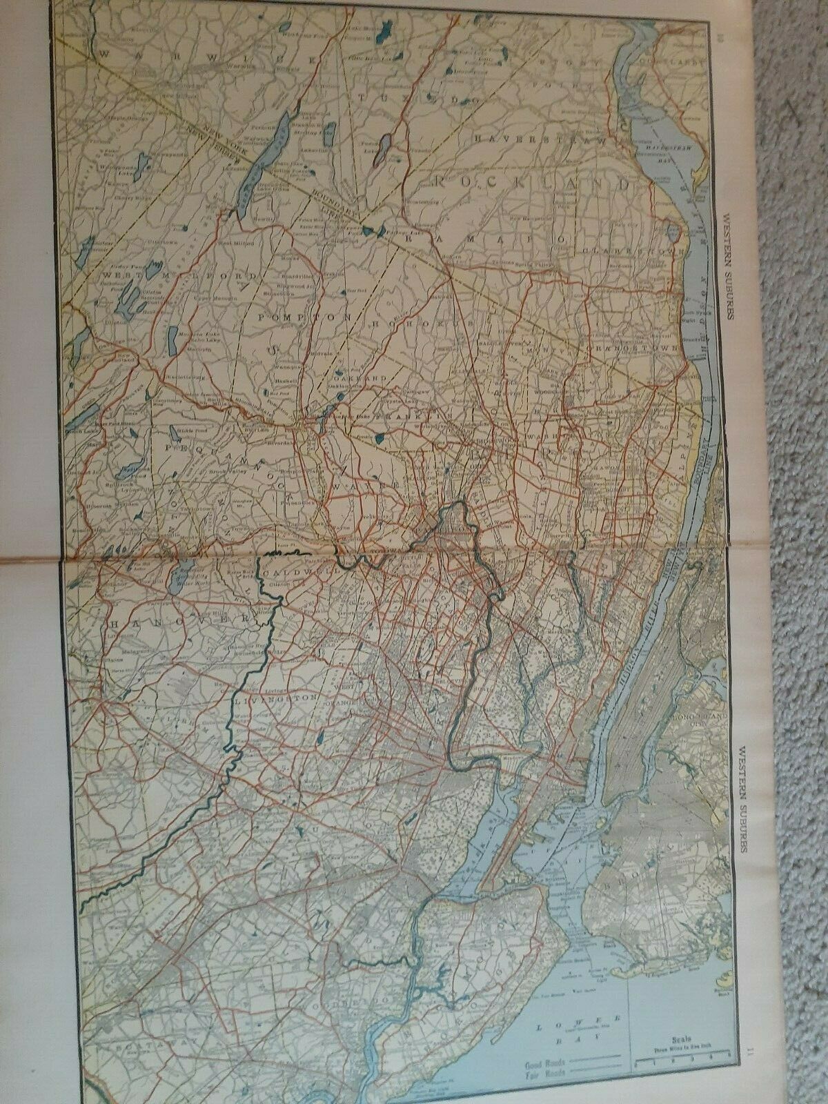
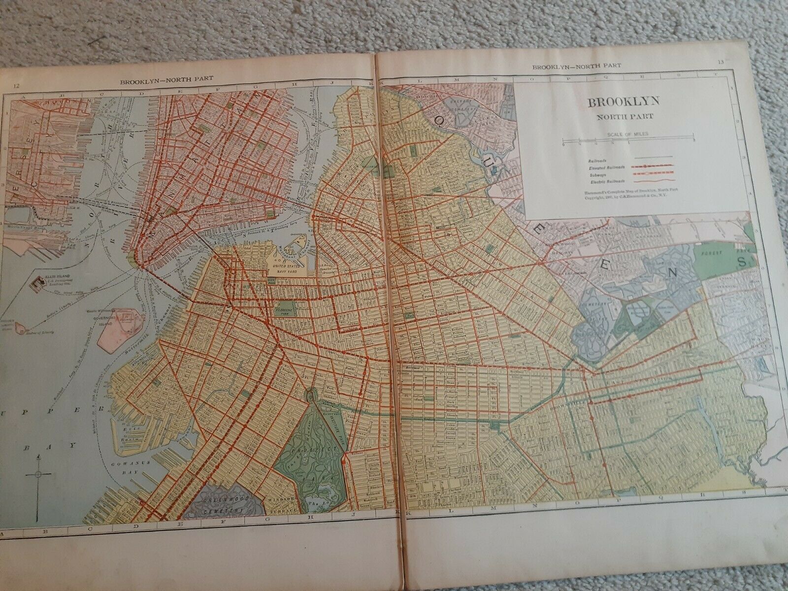
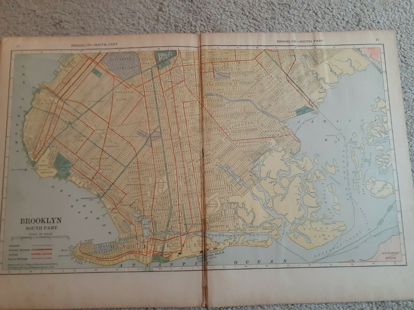
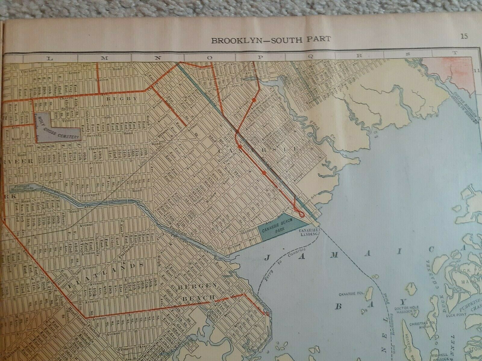
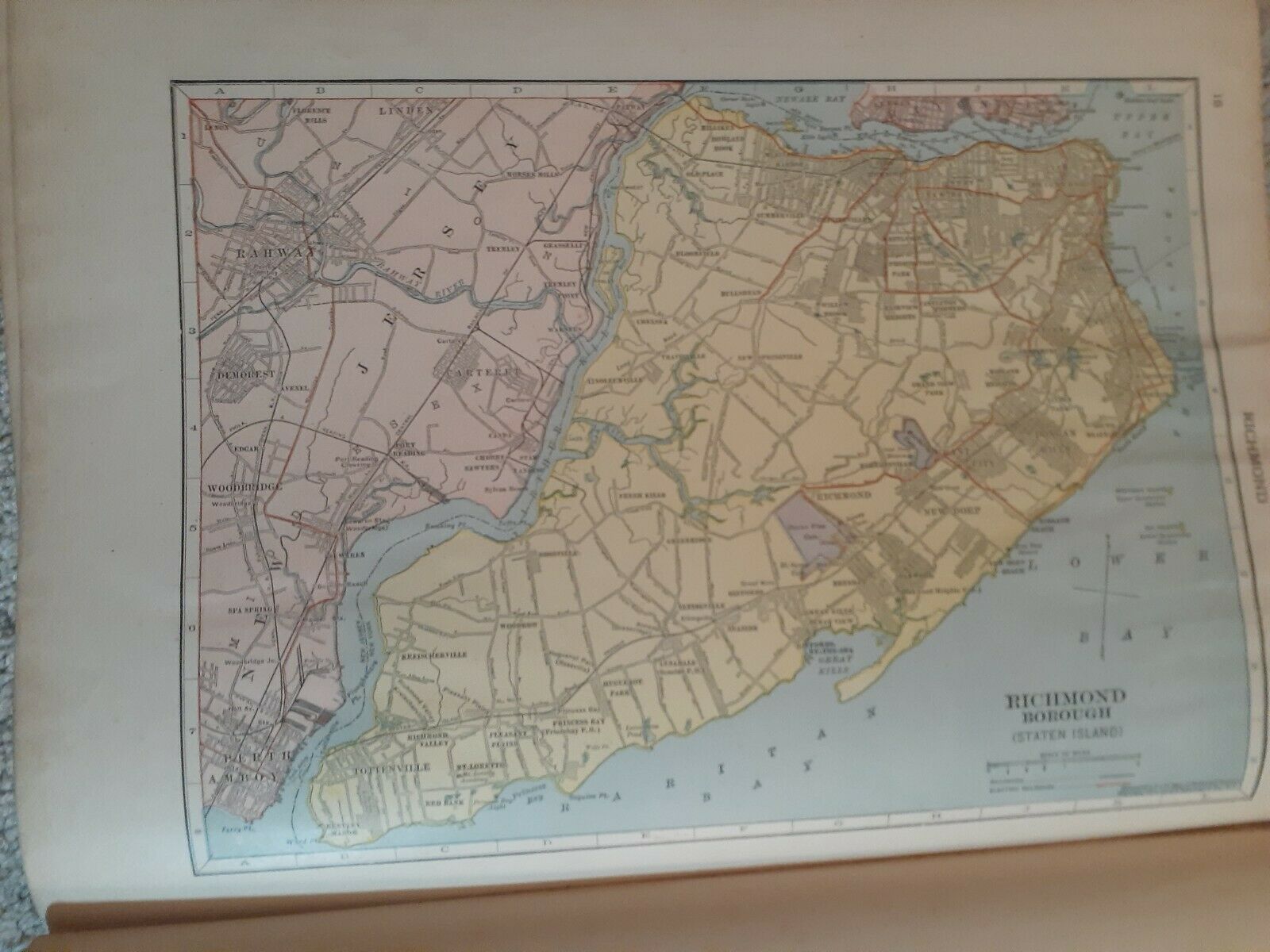
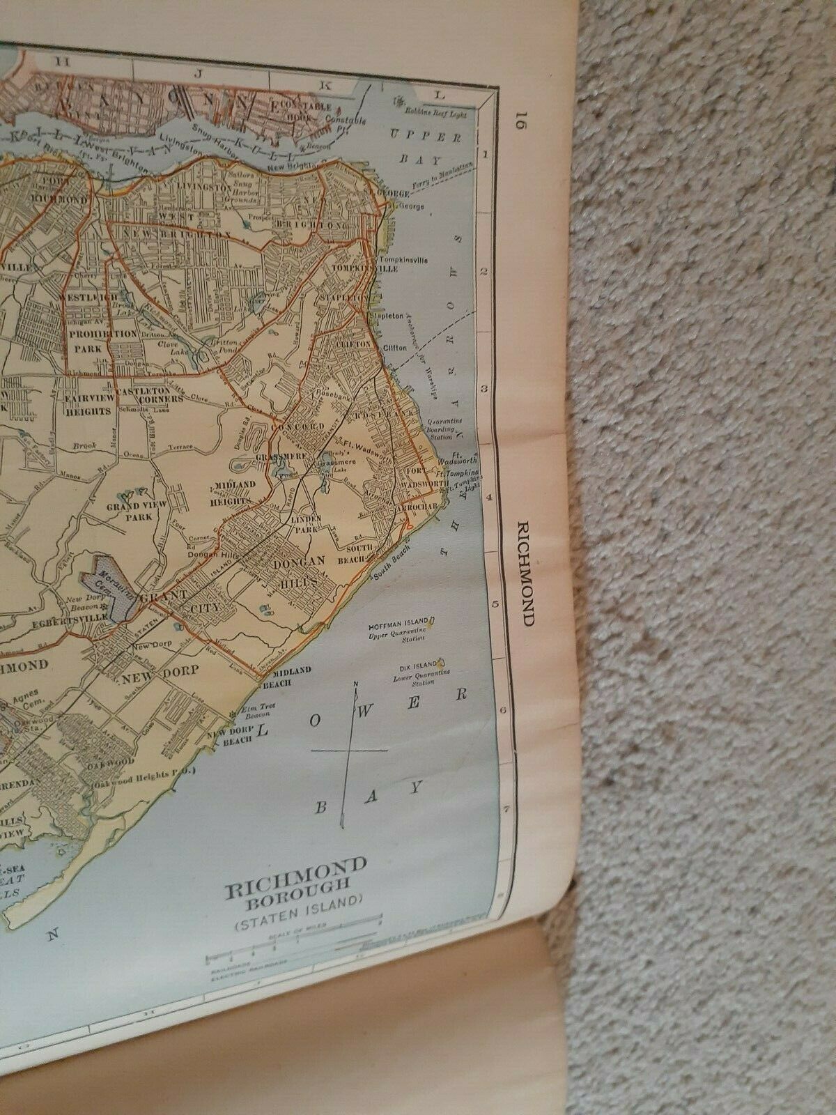
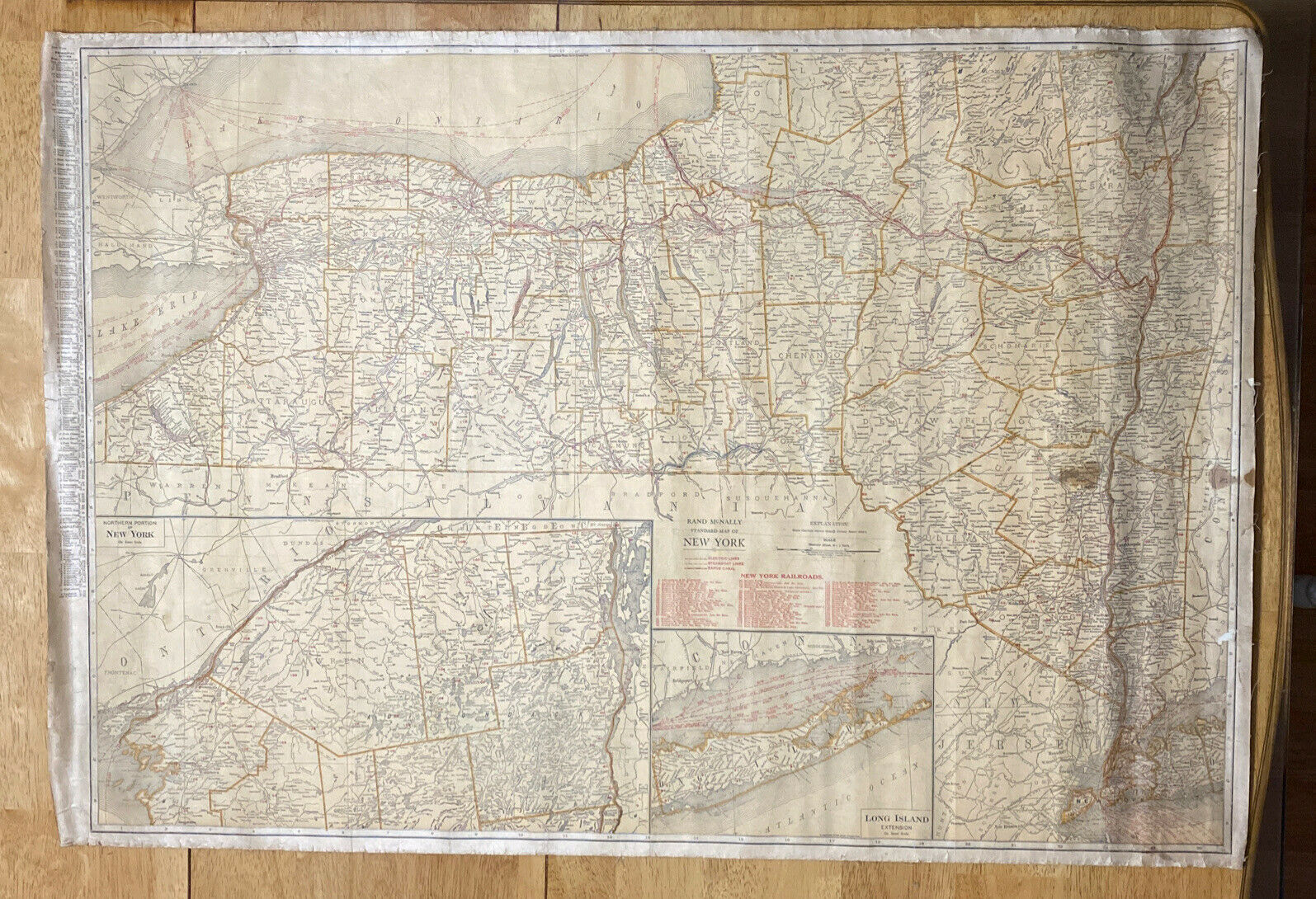
Antique 15-page Map of New York City
$ 6.33
- Description
- Size Guide
Description
Antique 15-page Map of New York CityThis map came from an atlas published in 1912, but some of the maps have copyrights dating back to 1896, not having been updated for the new edition of the atlas. I have never seen a map of New York, or any other city, for that matter, that was this large, this exhaustive. Every borough, many suburbs, it's all there, just as it was in 1908, the copyright date for this map. There are some wrinkles at the top of many of the pages, I presume from exposure to moisture. The worst of it is confined to the upper margins and on the back pages, from page 9 to 16, but nowhere does it interfere with the integrity of the map. Please see my pictures.
I was truly amazed when I saw what an incredible job they did on this New York map. I've seen a map and some pictures of New York City when Astor Plaza was still
farmland
and was several miles outside the city, and there are open spaces on this map that are now all built up. My seven or eight trips to New York City were a completely different experience each time, from the Yankees and Pink Floyd at Yankee Stadium, to Windows on the World in 1988, and Rockefeller Plaza during the winter. It was a wondrous place, and I can't help but wonder what it was like when this map was made. What were the people like? Were they digging up the streets seemingly all the time like they do now? Did it have the frenetic pace that it has now? Did it cost a fortune to live in Manhattan relative to the rest of the city, like it does now? And most importantly, do they still have the most fantastic Italian restaurants outside of Italy? On one of my trips, I bought a spicy Italian sausage sandwich from a sidewalk vendor. It was so spicy hot it almost blew the top of my head off. But the flavors were so delicious I went back and bought another one.
I have no idea why a world atlas started off with a fifteen page map of New York City, but we can be glad they did. I did not cut the bound edge of the quire in order to separate the maps because it would have damaged those maps that were two-pagers, that did not have a border or margin on the binding side of the page. It is better left bound, although the pages at the center of the quire can be removed, but that is a good thing because then we can view the entire map; the edges of it do not disappear into the binding.
This is a fascinating cartographic effort, one that documents a moment in a city that was already one of the greatest in the world, and shows us what it was at the beginning of the twentieth century.
It will be shipped in a cardboard sandwich to prevent any damage in transit. It costs a lot to mail a cardboard sandwich this size (the maps are 10 by 13 1/4 inches) First Class mail. It does not qualify for the cheaper media rate.
Please save me as a seller for World War I, World War II, Western Americana, the Indian Wars, the fur trade, mountaineering, politics (mostly lefty), economics, travel, fiction, art, and an eclectic selection of science books, especially astronomy, cosmology, human origins, geology and archaeology.
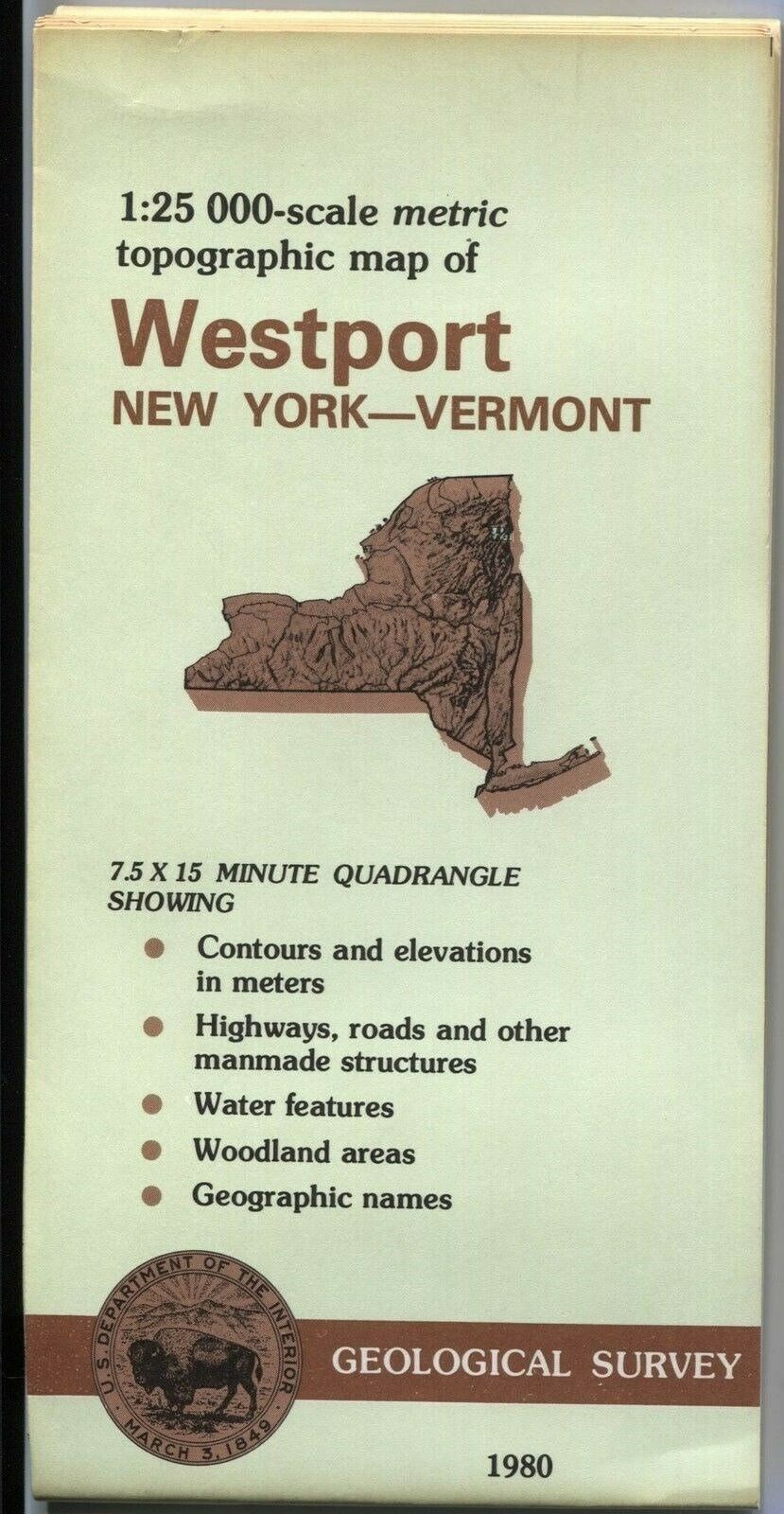
I've been listing a lot of maps--antiques, vintage USGS topographical and USGS geological maps, all of western states. I
don't have all categories listed all the time. I get a little long-winded when writing my descriptions, so I usually only get five or ten listings done on any given day.
Also, please understand that we are not gouging you on shipping cost. Ebay takes a final value fee on every item we sell, of course, but they are also collecting the final value fee on shipping. Consequently, if we charge actual shipping cost, we lose 14.55% on shipping. So we add about 15% to cover Ebay’s cut.
Please be aware that I am disabled with limited support resources (and also in a high-risk demographic relative to our current pandemic) and can only make it to the Post Office once a week, usually on Tuesday or Wednesday.
