-40%
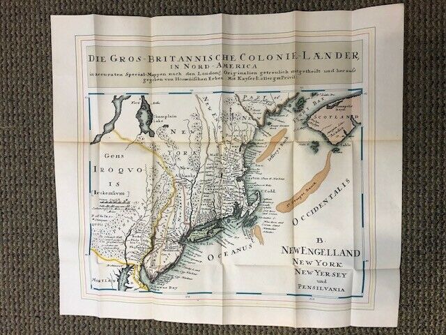
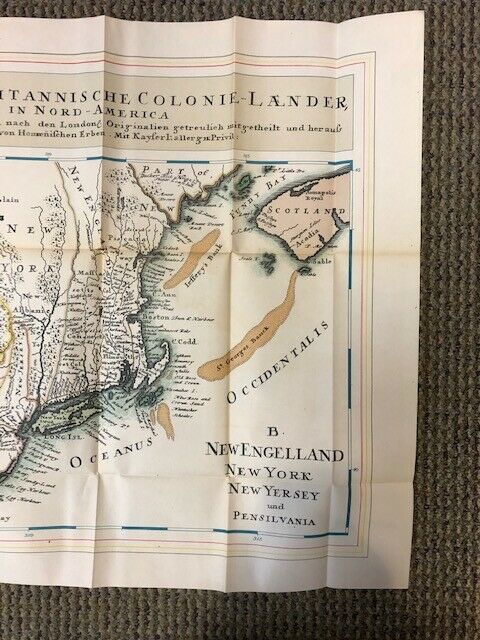
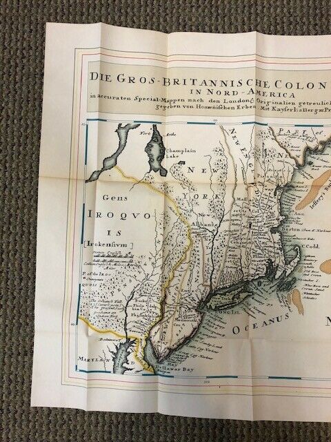
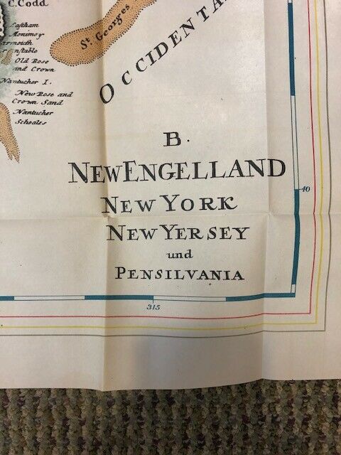
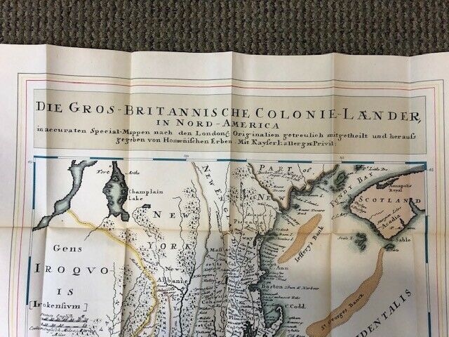
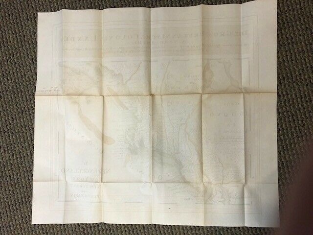
A Map of Die Gros Britannische Colonial Lander in Nord America Map 1740
$ 5.25
- Description
- Size Guide
Description
You are bidding on a copy of a Map of Die Gros Britannische Colonial Lander in Nord AmericaEstimated date of this reproduction copy is late 19
th
Century.
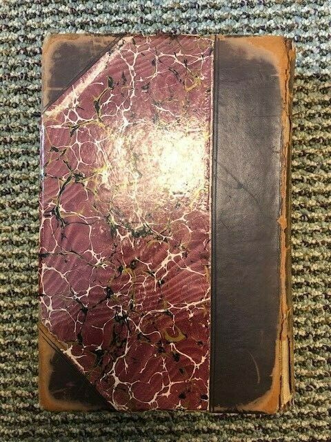
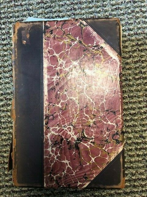
Map came from a book of maps as shown in Photographs.
Estimated date of publication of book 1875 to 1899.
Book of Maps is not being sold.
Approximately 22 ¼ x 25 ¼ Inches unfolded
Approximately 5 ¼ x 9 Inches folded
Good to Very Good Condition.
Great for framing.
Paper map.
Two Small holes in creases that can be fixed easily. Does not impact map.
See Photographs.
