-40%
60 Antique Maps bound in US Government Report - c. 1898
$ 41.71
- Description
- Size Guide
Description
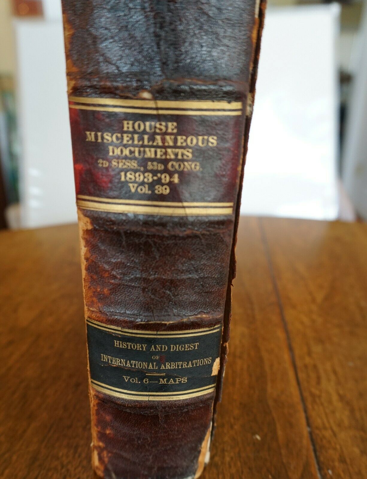
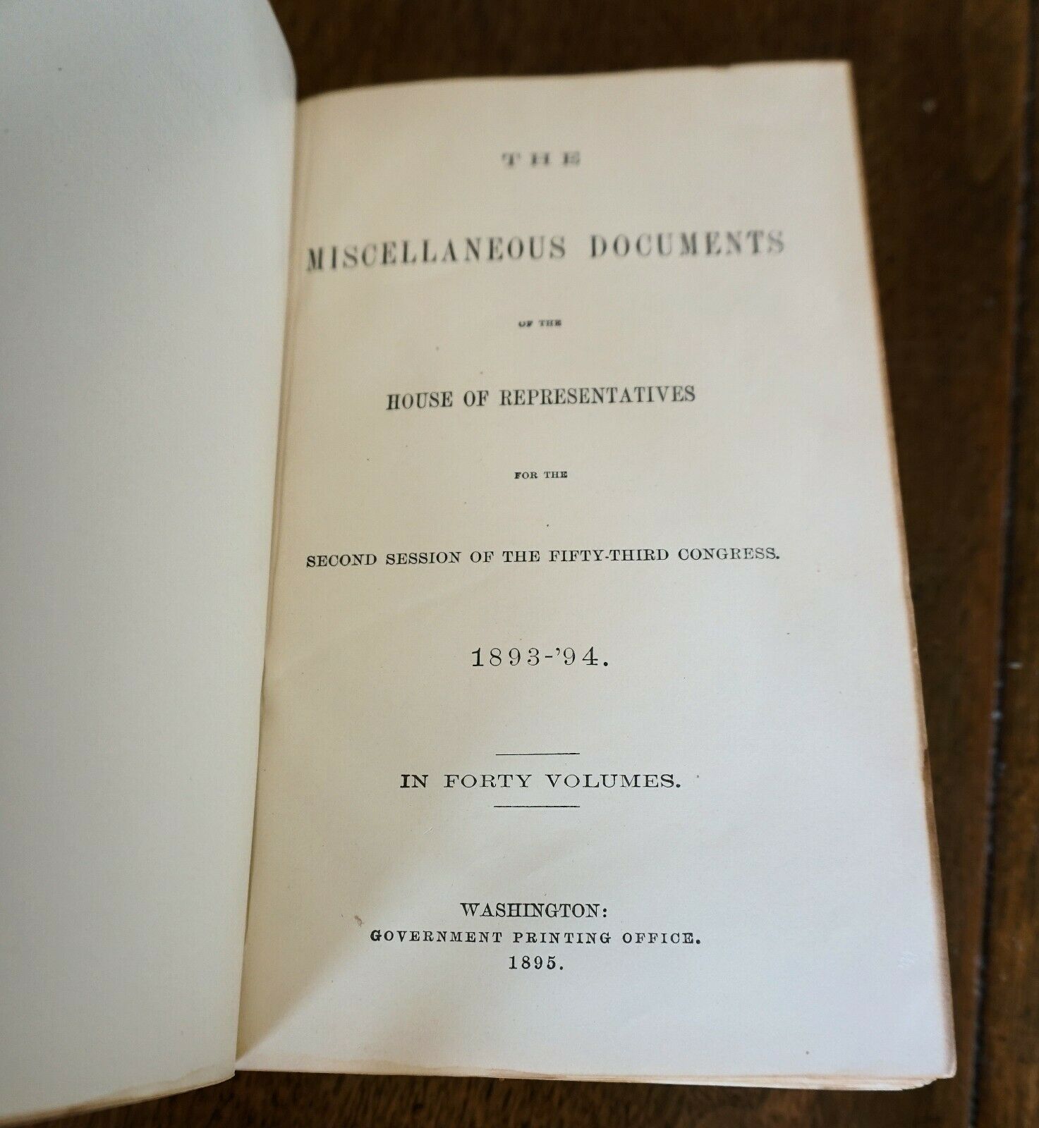
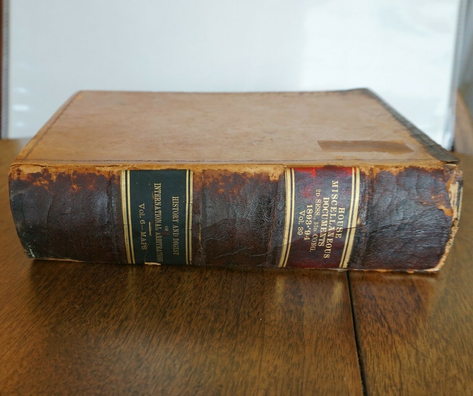
This listing is for a leather-bound octavo bound volume containing 60 foldout maps compiled by the U.S. Government. It was bound and published in 1898 in a report titled, “History and Digest of the International Arbitrations to which the United States Has Been a Party.” The maps mostly depict geographic areas and bodies of water in the Great Lakes region -- individual lakes and boundaries between Canada/United States/territories. Most of the maps are quite large, though they vary in size.This is volume VI in a 6-volume set by John Bassett Moore, a professor at Columbia U and assistant US Secretary of State at the time. It is the original volume published by the US Government Printing office, this book is not a reproduction. The 6th and final volume is the one containing all the maps in the series.
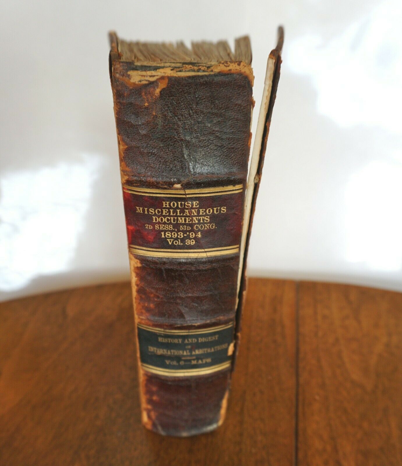
The spine of this volume says:
House miscellaneous documents
1893-94
2nd session, 53rd Congress
“History and Digest of International Arbitrations”
Vol 6. MAPS
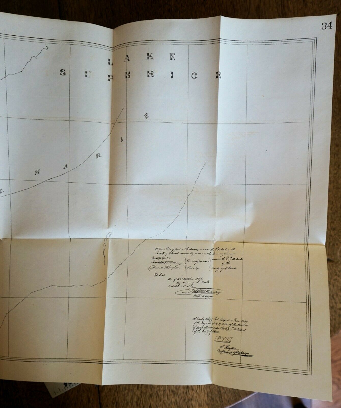
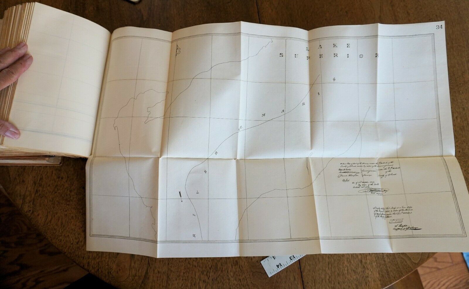
Most of the maps appear to be in decent shape, though there are a fair number of crease tears. We only folded out a small number to check on condition and do not have a full listing of all map titles in this volume. Some of the maps do have (repairable) crease and/or fold tears. The last map — #61 in the series — is torn in multiple places.
The font board of this volume has come completely loose, but the rest of its binding is intact.. The leather bound cover and spine are dry, dark and brittle from wear and age.
It contains a delightful series of antique maps of the Great Lakes and surrounding regions and towns and islands, etc. Here are titles of the maps we unfolded to inspect and photograph:
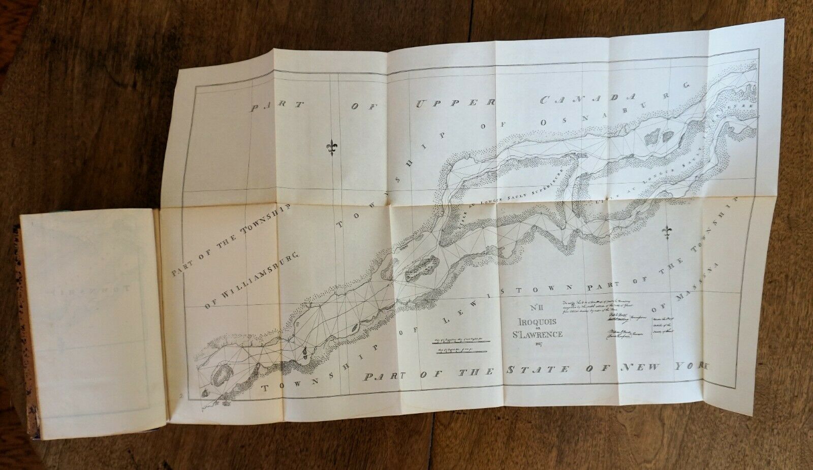
1898 Sketch map of 1817 Iroqois - Township of Lewistown — NY
-
Township of Massena
—Part of the State of New York — Measures approx 26” by 16” (there are 8 other maps depicting Iroqois boundary settlements)
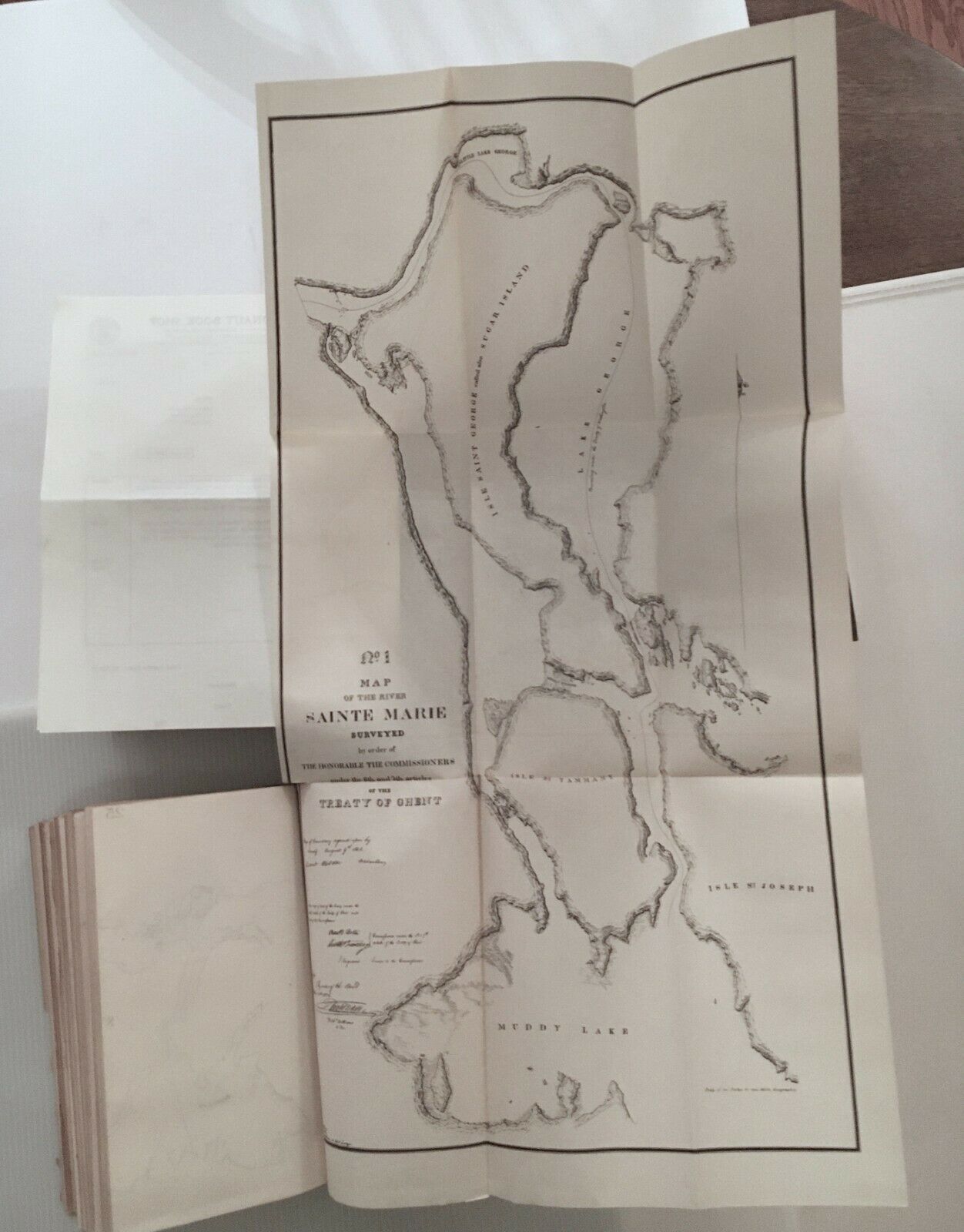
1898 map of River St. Marie and Lake Superior
Muddy Lake, Tamina Island, St. Joseph Island (Lake Huron)
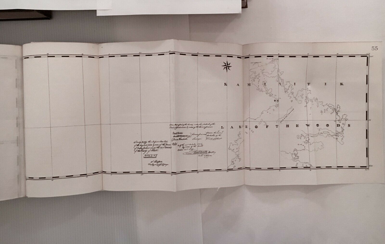
Lake of the Woods/Kaminituk (including part of Canadian provinces of Ontario and Manitoba/and Minnesota)
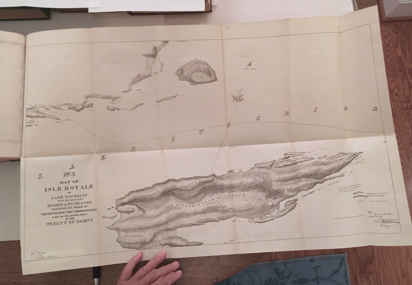
Isle Royale in Lake Superior
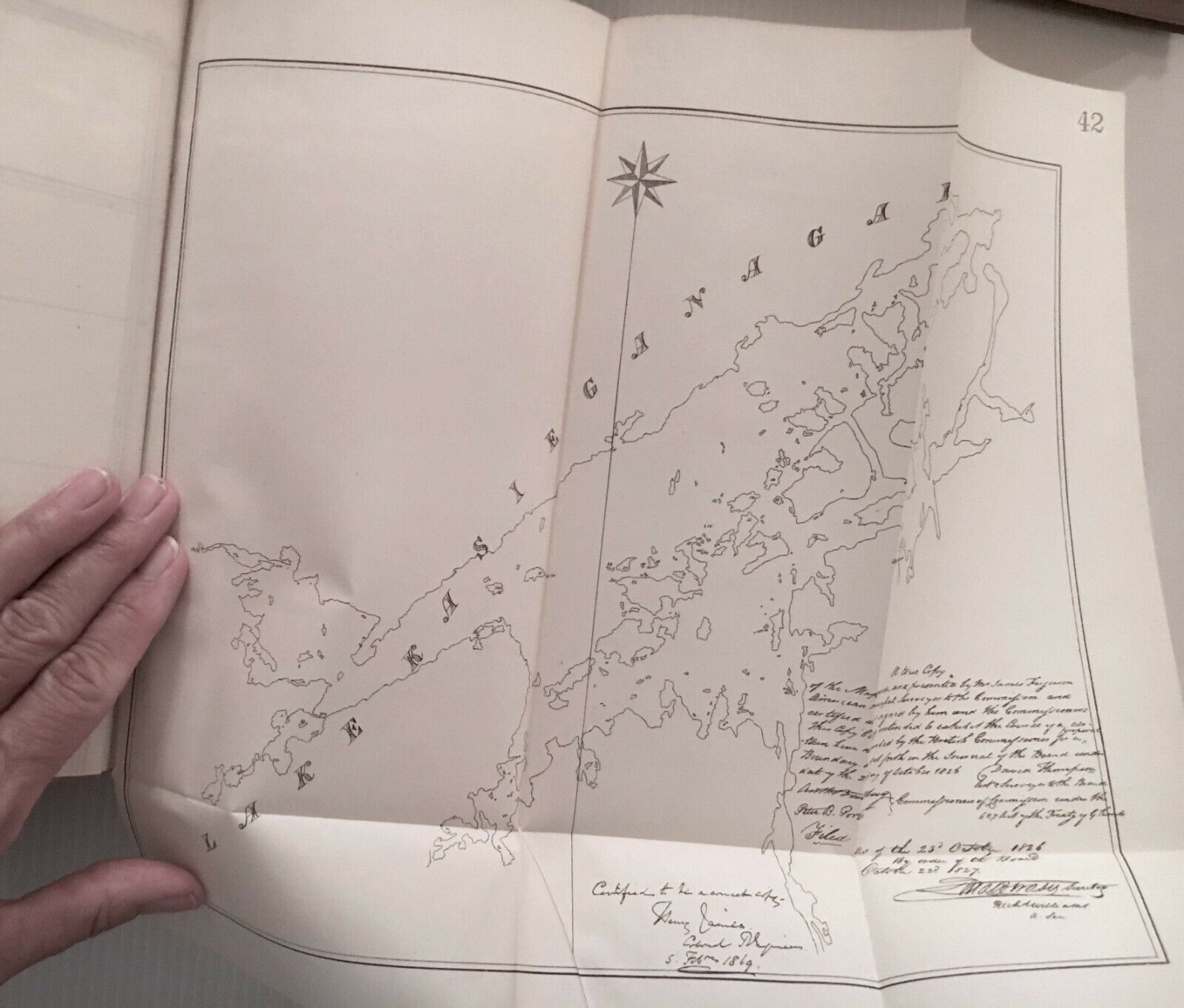
Lake Kasieganagai (Lake Seseganaga in Ontario?)
OTHER MAPS included in this volume depict the following:
Lake Ontario
Ontario
Niagara
Lake Erie
Grosse Isle (in St. Lawrence River in Quebec)
Detroit
Lake St. Clair
Lake Huron
George Lake/Sugar Island
Lake Superior
Payment:
Accepting PayPal, Paypal credit, Visa, Mastercard, Discover, American Express and with eBay app Apple Pay and Google Pay.
Shipping:
This item will be shipped media mail for . If you need something else, let us know we are more than happy to work with you.
Returns:
We do accept returns, no questions asked.
Questions:
No question will go unanswered, so ask, we are here to help.
