-40%
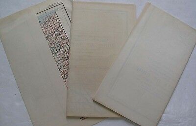
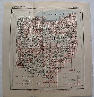
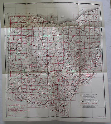
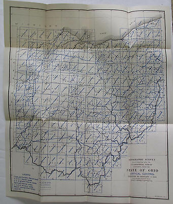
3 Folding Maps State of Ohio Geology Vertical Horizontal Control Topography 1910
$ 12.93
- Description
- Size Guide
Description
We are offering a lot of 3 Maps of the State of Ohio. One of the maps is an Index Map Showing Progress of the Topographic Survey to July 1, 1910, (Measuring 5" X 8".) The other two maps are also from the Topographic Survey, one showing the Horizontal Control (with red printing) and the other showing the Vertical Control (with blue printing,)(both of these maps measure 20-1/2" X 18.")Shipping Anywhere In The United States Media Mail ; International Shipping . Please Note: We accept PayPal, but also accept all credit cards. Everything we sell is Returnable for any reason. We only ask for prompt notification, within 14 days. We generally do try to "combine shipping" when you purchase more than one item--except in cases of large lots or very heavy shipments. ON INTERNATIONAL ORDERS, WE DO REFUND ON OVERCHARGES!! Don't hesitate to ask for more info/detail on any of our listings. HOFFMAN BOOKS, ABAA, IOBA
