-40%
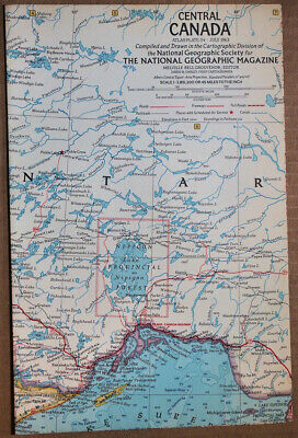
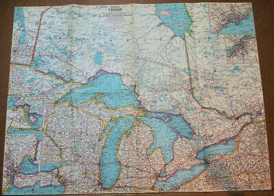
1963 National Geographic Atlas Map Plate #24 Central Canada 19 x 25" GOOD+ cond.
$ 5.25
- Description
- Size Guide
Description
You're bidding on an original vintageJuly 1963
National Geographic
ATLAS
map of
Central Canada.
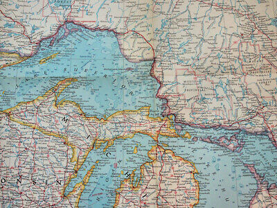
The pictures are of the actual map you will get.
This map is the
24th
of the Atlas Map Series!
Atlas Maps' DESCRIPTION:
"New Atlas Maps Announced by The Society
Expanded Map Program, Marking National Geographics 70th Year, Will Bring to Members Plates for a Big New Atlas
by James M. Darley
Chief Cartographer, National Geographic Society
EVER since Marco Polo journeyed to Cathay and Columbus's caravels braved the Ocean Sea, maps have spelled adventure. Each inked-in line speaks of man's quest for the distant shore, his urge to fathom the mysterious sea or to scale the lofty peak.
National Geographic Society maps continue to strike this responsive chord. Members acclaim them as welcome companions on any trip and magic carpets to faraway places.
Now, on the 70th anniversary of the founding of The Society, members will reap even greater rewards from a vastly expanded map program. After long study and planning, The Society launches with this issue an ambitious new project—
the National Geographic World Atlas map series.
The handy size and larger scale of these maps makes them ideal for guidance while traveling as well as for reference use at home. All maps in this series will be the same size, planned as integral plates of a world Atlas which each member can build up for himself.
Members formerly received four supplement maps a year. In 1958, however, your National Geographies will bring the first seven in this important new Atlas series.
For this series the entire world is being mapped afresh, region by region. There will also be an occasional special-purpose map, such as one planned for 1958 showing the National Parks and Monuments of the United States and Canada.
All Atlas maps will open out to 25 by 19 inches—
small enough for ease of handling, yet
large enough to permit a generous scale and wealth of detail. One, for instance, will portray the British Isles on a scale of 28.8 miles to the inch. Modern "bleed," or marginless, design makes use of all 475 square inches to convey geographic information."
Will be shipped to USA via USPS First Class Mail with tracking and delivery confirmation.
Please check out my long
(over twenty two years now)
eBay tenure, perfect feedback, other auctions and bid with confidence. If you are pleased with the transaction, I would appreciate positive feedback and I will reciprocate with same.
