-40%
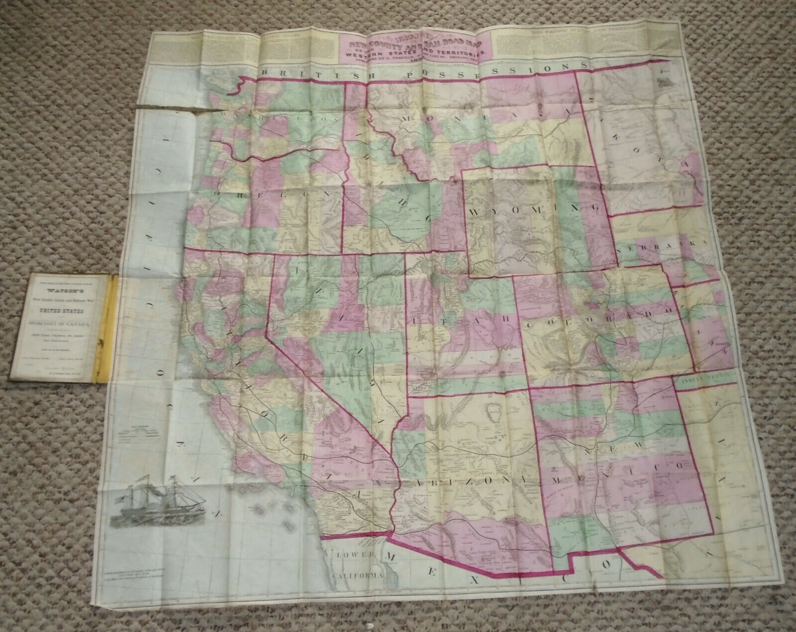
1872 Watson New County & Railroad Map Western States & Territories Antique Orig
$ 527.97
- Description
- Size Guide
Description
Unrecorded 1871 edition of Gaylord Watson's rare map of the Western United States, published by Needham in Chicago.Watson's map of the Western United States is one of the best detailed large format maps of the period and one of the earlest maps issued by Gaylord Watson following the termination of his relationship with Phelps. An example of the map dated 1872 is in the collection of the Huntington Library and is the only recorded example of this map. David Rumsey holds a variant edition dated 1874, with inset panels showing several major US Cities.
Shows one tear upper left-hand corner, small tear bottom right, some holes in the corner folds, bottom left-hand corner is just folded over.
Measured out at 34 1/2" x 34 3/4, flattened out it would be larger.
Chance to own a very rare map
Please email with any questions


