-40%
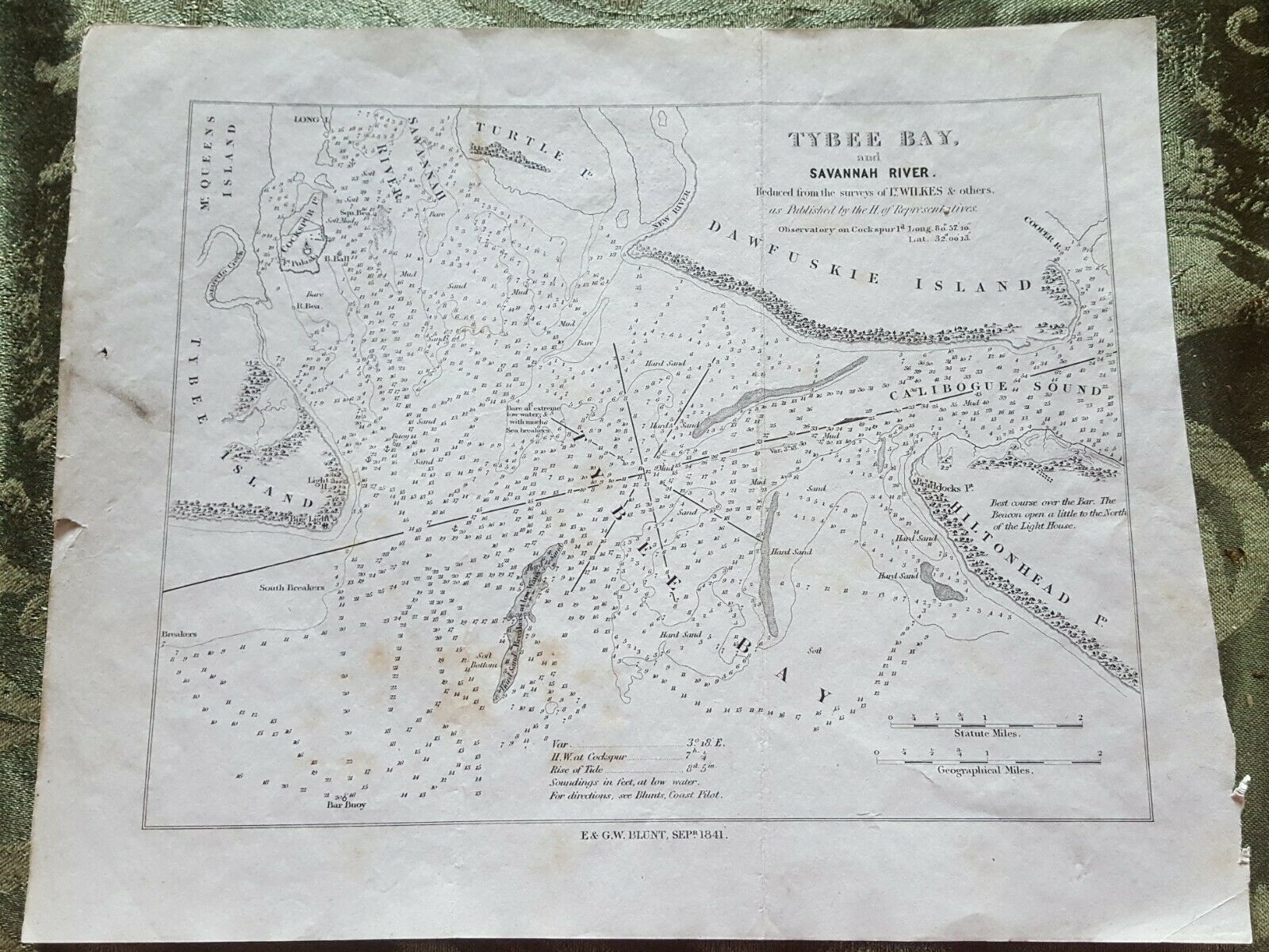
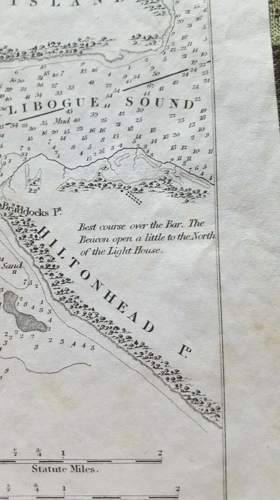
1841 EW Blunt Map of Hilton Head/Tybee Island & Bay Wilkes Surveys
$ 6.33
- Description
- Size Guide
Description
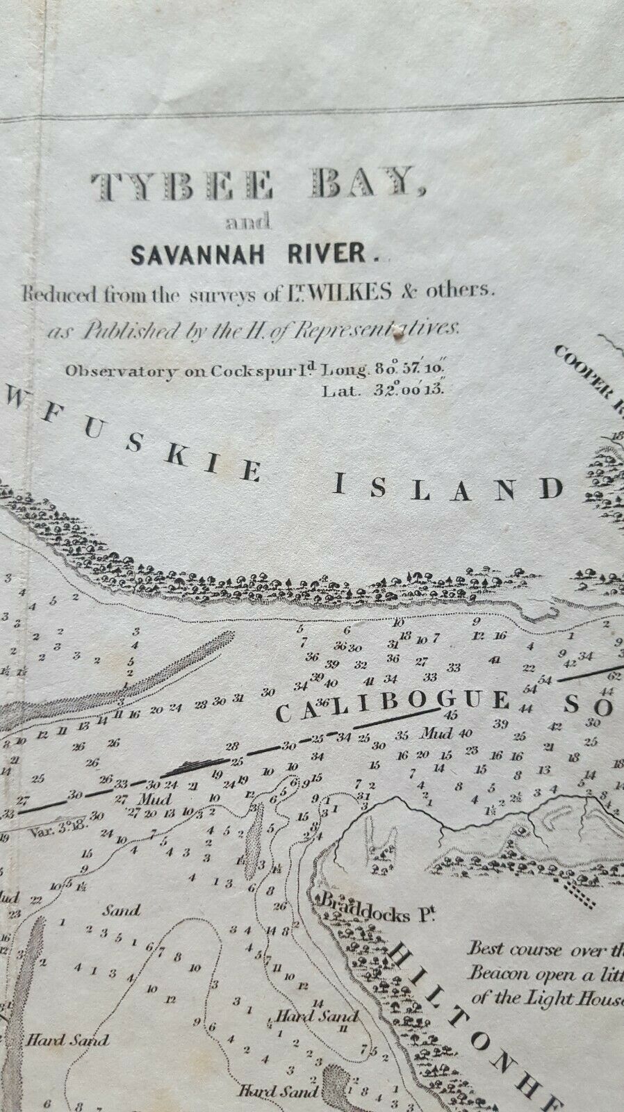
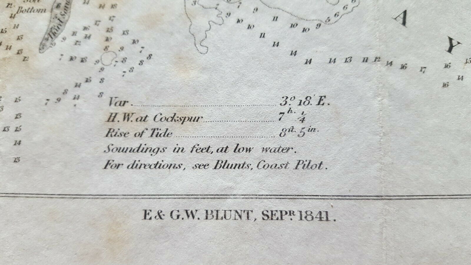
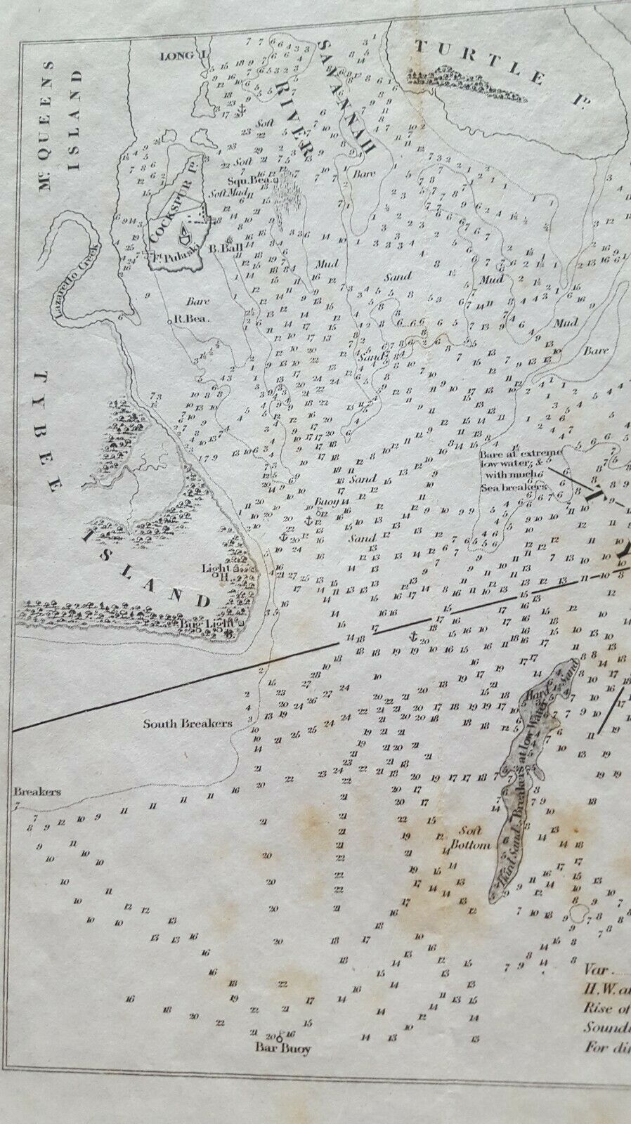
Tybee Bay & Savannah River, Reduced From the Surveys of Lt. Wilkes..as Published in the H. of Representatives. Published by E & GW Blunt, September, 1841. Neat line dimensions 7.5 x 9.5 inches, total dimensions 9.25 x 11 inches.Early nautical chart published in a government report showing soundings in Tybee Bay with some early landmarks noted at Tybee Island (Lighthouse) and Hilton Head Island, including Braddock's Point.
VG condition, scattered foxing.
